Pedro Abad geodata
Pedro Abad (Andalusia) is a seat of a third-order administrative division; located in Spain in Europe/Madrid (GMT+2) time zone. With population of 2,922 people, there are 1749 cities with bigger population in this country. Compared to other cities in Spain, 88.8% of cities are located further ↑North; 65.6% of cities are located further →East and 83.7% of cities have higher elevation than Pedro Abad. Note1


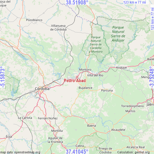
Pedro Abad GPS coordinates[2]
37° 58' 0.696" North, 4° 27' 20.16" West
| Map corner | latitude | longitude |
|---|---|---|
| Upper-left | 38.51908°, | -5.15873° |
| Center: | 37.96686°, | -4.4556° |
| Lower-right: | 37.41045°, | -3.75248° |
| Map W x H: | 123.3×123.3 km | = 76.6×76.6mi |
| max Lat: | 43.74134° ⇑88.8% North |
| Pedro Abad: | 37.96686° |
| min Lat: | ⇓11.2% South 27.64134° |
| min Long | Pedro Abad | max Long |
| -18.00367° | -4.4556° | 4.2899° |
| W 34.4%⇐ | ⇒65.6% E |
Elevation
Elevation of Pedro Abad is 159 m = 522 ft, and this is 439 m = 1440 ft below average elevation for this country.
| Max E: |
1682 m = 5518 ft | 83.7% |
| Avg. | 598 m = 1962 ft | |
| Pedro Abad | 159 m = 522 ft | |
Min E: |
0 m = 0 ft | 16.3% |
See also: Spain elevation on elevation.city.
Geographical zone
Pedro Abad is located in North temperate zone (between Tropic of Cancer and the Arctic Circle). Distance of this Northern Tropic circle is 1615.6 km =1003.9 mi to South.| Distance of | km | miles | from Pedro Abad |
|---|---|---|---|
| North Pole | 5785.5 | 3594.9 | to North |
| Arctic Circle | 3179.7 | 1975.8 | to North |
| Tropic Cancer | 1615.6 | 1003.9 | to South |
| Equator | 4221.5 | 2623.1 | to South |


Nearby cities:
15 places around Pedro Abad: (largest is in red/bold)
• Adamuz
8.9 km =5.5 mi,  318°
318°
• Arjonilla
30.6 km =19 mi,  88°
88°
• Bujalance
10.3 km =6.4 mi,  140°
140°
• Castro del Río
30.7 km =19.1 mi,  184°
184°
• Cañete de las Torres
16.4 km =10.2 mi,  132°
132°
• Córdoba
29 km =18 mi,  253°
253°
• El Carpio
4.6 km =2.9 mi,  231°
231°
• Higuera de Calatrava
32.2 km =20 mi, 125°
• Lopera
21.3 km =13.2 mi,  96°
96°
• Marmolejo
26.5 km =16.5 mi,  70°
70°
• Montoro
9 km =5.6 mi,  44°
44°
• Porcuna
26 km =16.2 mi,  114°
114°
• Valenzuela
29.6 km =18.4 mi, 135°
• Villa del Río
14.6 km =9.1 mi,  83°
83°
• Villafranca de Córdoba
7.9 km =4.9 mi,  266°
266°
Sources, notices
• [Note1] Compared only with cities in Spain existing in our database
• [Src1] Map data: © OpenStreetMap contributors (CC-BY-SA)
• [Src2] Other city data from geonames.org with taken over terms of usage.
• [Src3] Geographical zone / Annual Mean Temperature by Robert A. Rohde @ Wikipedia
