Gurb geodata
Gurb (Catalonia) is a populated place; located in Spain in Europe/Madrid (GMT+2) time zone. With population of 2,196 people, there are 2051 cities with bigger population in this country. Compared to other cities in Spain, 72.5% of cities are located further ↓South; 95.6% of cities are located further ←West and 61% of cities have higher elevation than Gurb. Note1


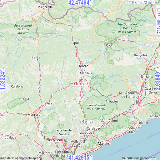
Gurb GPS coordinates[2]
41° 57' 15.084" North, 2° 14' 7.332" East
| Map corner | latitude | longitude |
|---|---|---|
| Upper-left | 42.47494°, | 1.53224° |
| Center: | 41.95419°, | 2.23537° |
| Lower-right: | 41.42915°, | 2.93849° |
| Map W x H: | 116.3×116.3 km | = 72.3×72.3mi |
| max Lat: | 43.74134° ⇑27.5% North |
| Gurb: | 41.95419° |
| min Lat: | ⇓72.5% South 27.64134° |
| min Long | Gurb | max Long |
| -18.00367° | 2.23537° | 4.2899° |
| W 95.6%⇐ | ⇒4.4% E |
Elevation
Elevation of Gurb is 512 m = 1680 ft, and this is 86 m = 282 ft below average elevation for this country.
| Max E: |
1682 m = 5518 ft | 61% |
| Avg. | 598 m = 1962 ft | |
| Gurb | 512 m = 1680 ft | |
Min E: |
0 m = 0 ft | 39% |
See also: Spain elevation on elevation.city.
Geographical zone
Gurb is located in North temperate zone (between Tropic of Cancer and the Arctic Circle). Distance of this Northern Tropic circle is 2058.9 km =1279.3 mi to South.| Distance of | km | miles | from Gurb |
|---|---|---|---|
| North Pole | 5342.2 | 3319.5 | to North |
| Arctic Circle | 2736.3 | 1700.3 | to North |
| Tropic Cancer | 2058.9 | 1279.3 | to South |
| Equator | 4664.9 | 2898.6 | to South |


Nearby cities:
15 places around Gurb: (largest is in red/bold)
• Manlleu
6.7 km =4.2 mi,  37°
37°
• Muntanyola
9 km =5.6 mi,  208°
208°
• Olost
12.1 km =7.5 mi,  286°
286°
• Orís
11.8 km =7.3 mi,  354°
354°
• Sant Boi de Lluçanès
12.8 km =8 mi,  326°
326°
• Sant Julià de Vilatorta
8.2 km =5.1 mi,  115°
115°
• Santa Cecília de Voltregà
5.1 km =3.2 mi,  358°
358°
• Santa Eugènia de Berga
7.2 km =4.5 mi,  146°
146°
• Santa Eulàlia de Riuprimer
6.2 km =3.9 mi,  218°
218°
• Taradell
9.8 km =6.1 mi, 154°
• Tona
11.8 km =7.3 mi,  182°
182°
• Torelló
10.6 km =6.6 mi,  14°
14°
• Vic
3.1 km =1.9 mi, 148°
• Vilanova de Sau
12.3 km =7.6 mi,  93°
93°
• Vilaseca
12.1 km =7.5 mi, 7°
Sources, notices
• [Note1] Compared only with cities in Spain existing in our database
• [Src1] Map data: © OpenStreetMap contributors (CC-BY-SA)
• [Src2] Other city data from geonames.org with taken over terms of usage.
• [Src3] Geographical zone / Annual Mean Temperature by Robert A. Rohde @ Wikipedia
