Elduain geodata
Elduain (Basque Country) is a seat of a third-order administrative division; located in Spain in Europe/Madrid (GMT+2) time zone. In our database, there are 6762 cities with bigger population. Compared to other cities in Spain, 95.7% of cities are located further ↓South; 67.5% of cities are located further ←West and 78.7% of cities have higher elevation than Elduain. Note1


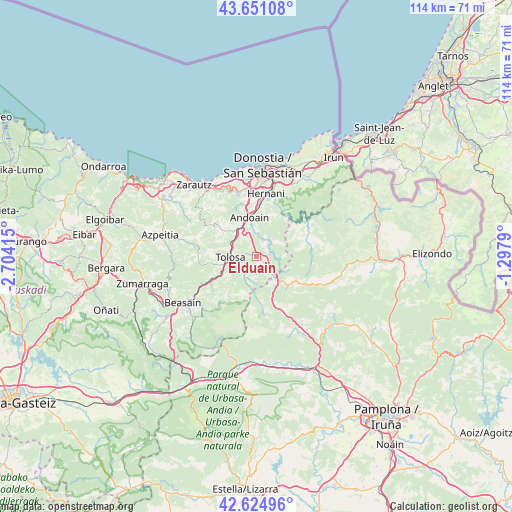
Elduain GPS coordinates[2]
43° 8' 24.612" North, 2° 0' 3.672" West
| Map corner | latitude | longitude |
|---|---|---|
| Upper-left | 43.65108°, | -2.70415° |
| Center: | 43.14017°, | -2.00102° |
| Lower-right: | 42.62496°, | -1.2979° |
| Map W x H: | 114.1×114.1 km | = 70.9×70.9mi |
| max Lat: | 43.74134° ⇑4.3% North |
| Elduain: | 43.14017° |
| min Lat: | ⇓95.7% South 27.64134° |
| min Long | Elduain | max Long |
| -18.00367° | -2.00102° | 4.2899° |
| W 67.5%⇐ | ⇒32.5% E |
Elevation
Elevation of Elduain is 243 m = 797 ft, and this is 355 m = 1165 ft below average elevation for this country.
| Max E: |
1682 m = 5518 ft | 78.7% |
| Avg. | 598 m = 1962 ft | |
| Elduain | 243 m = 797 ft | |
Min E: |
0 m = 0 ft | 21.3% |
See also: Spain elevation on elevation.city.
Geographical zone
Elduain is located in North temperate zone (between Tropic of Cancer and the Arctic Circle). Distance of this Northern Tropic circle is 2190.8 km =1361.3 mi to South.| Distance of | km | miles | from Elduain |
|---|---|---|---|
| North Pole | 5210.3 | 3237.5 | to North |
| Arctic Circle | 2604.4 | 1618.3 | to North |
| Tropic Cancer | 2190.8 | 1361.3 | to South |
| Equator | 4796.7 | 2980.5 | to South |


Nearby cities:
15 places around Elduain: (largest is in red/bold)
• Aduna
8.1 km =5 mi,  330°
330°
• Anoeta
6.2 km =3.9 mi,  293°
293°
• Areso
7.6 km =4.7 mi,  148°
148°
• Belauntza
4.1 km =2.5 mi,  263°
263°
• Berastegi
2.4 km =1.5 mi,  136°
136°
• Berrobi
2.1 km =1.3 mi, 285°
• Gaztelu
3.3 km =2.1 mi,  215°
215°
• Hernialde
7 km =4.3 mi,  283°
283°
• Ibarra
5.3 km =3.3 mi, 259°
• Irura
6.1 km =3.8 mi,  298°
298°
• Leaburu
4.8 km =3 mi,  244°
244°
• Lizartza
5 km =3.1 mi,  213°
213°
• Orexa
5.2 km =3.2 mi,  189°
189°
• Tolosa
6.3 km =3.9 mi, 264°
• Villabona
6.6 km =4.1 mi,  320°
320°
Sources, notices
• [Note1] Compared only with cities in Spain existing in our database
• [Src1] Map data: © OpenStreetMap contributors (CC-BY-SA)
• [Src2] Other city data from geonames.org with taken over terms of usage.
• [Src3] Geographical zone / Annual Mean Temperature by Robert A. Rohde @ Wikipedia
