Renko geodata
Renko (Kanta-Hame) is a seat of a third-order administrative division; located in Finland in Europe/Helsinki (GMT+3) time zone. With population of 2,376 people, there are 332 cities with bigger population in this country. Compared to other cities in Finland, 72% of cities are located further ↑North; 57.3% of cities are located further →East and 74.8% of cities have lower elevation than Renko. Note1


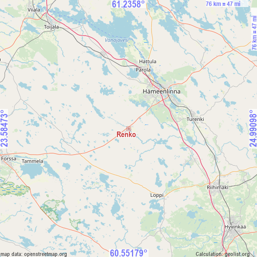
Renko GPS coordinates[2]
60° 53' 44.268" North, 24° 17' 16.26" East
| Map corner | latitude | longitude |
|---|---|---|
| Upper-left | 61.2358°, | 23.58473° |
| Center: | 60.89563°, | 24.28785° |
| Lower-right: | 60.55179°, | 24.99098° |
| Map W x H: | 76.1×76.1 km | = 47.3×47.3mi |
| max Lat: | 69.90864° ⇑72% North |
| Renko: | 60.89563° |
| min Lat: | ⇓28% South 59.83333° |
| min Long | Renko | max Long |
| 21.2° | 24.28785° | 30.93276° |
| W 42.7%⇐ | ⇒57.3% E |
Elevation
Elevation of Renko is 111 m = 364 ft, and this is 33.9 m = 111 ft above average elevation for this country.
| Max E: |
299 m = 981 ft | 25.2% |
| Renko | 111 m 364 ft | |
| Avg. | 77.1 m = 253 ft | |
Min E: |
1 m = 3 ft | 74.8% |
See also: Finland elevation on elevation.city.
Geographical zone
Renko is located in North temperate zone (between Tropic of Cancer and the Arctic Circle). Distance of this North polar circle is 630.2 km =391.6 mi to North.| Distance of | km | miles | from Renko |
|---|---|---|---|
| North Pole | 3236.1 | 2010.8 | to North |
| Arctic Circle | 630.2 | 391.6 | to North |
| Tropic Cancer | 4165 | 2588 | to South |
| Equator | 6771 | 4207.3 | to South |


Nearby cities:
15 places around Renko: (largest is in red/bold)
• Akaa
37.7 km =23.4 mi,  323°
323°
• Forssa
37.2 km =23.1 mi,  255°
255°
• Hauho
34.2 km =21.3 mi,  25°
25°
• Hausjärvi
37.1 km =23.1 mi,  109°
109°
• Hämeenlinna
14.7 km =9.1 mi,  40°
40°
• Janakkala
16.9 km =10.5 mi,  88°
88°
• Kalvola
24.5 km =15.2 mi,  338°
338°
• Kärkölä
36.6 km =22.7 mi,  210°
210°
• Loppi
21.8 km =13.5 mi,  156°
156°
• Parola
17.1 km =10.6 mi,  12°
12°
• Riihimäki
31.8 km =19.8 mi,  123°
123°
• Tammela
29.7 km =18.5 mi,  251°
251°
• Tervakoski
20.4 km =12.7 mi, 116°
• Toijala
38.8 km =24.1 mi, 321°
• Turenki
18.8 km =11.7 mi,  82°
82°
Sources, notices
• [Note1] Compared only with cities in Finland existing in our database
• [Src1] Map data: © OpenStreetMap contributors (CC-BY-SA)
• [Src2] Other city data from geonames.org with taken over terms of usage.
• [Src3] Geographical zone / Annual Mean Temperature by Robert A. Rohde @ Wikipedia
