Tammela geodata
Tammela (Kanta-Hame) is a seat of a third-order administrative division; located in Finland in Europe/Helsinki (GMT+3) time zone. With population of 6,519 people, there are 165 cities with bigger population in this country. Compared to other cities in Finland, 74.1% of cities are located further ↑North; 64.5% of cities are located further →East and 81.4% of cities have lower elevation than Tammela. Note1


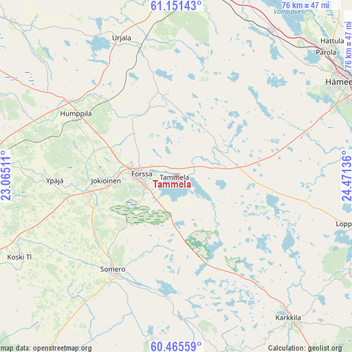
Tammela GPS coordinates[2]
60° 48' 37.26" North, 23° 46' 5.628" East
| Map corner | latitude | longitude |
|---|---|---|
| Upper-left | 61.15143°, | 23.06511° |
| Center: | 60.81035°, | 23.76823° |
| Lower-right: | 60.46559°, | 24.47136° |
| Map W x H: | 76.3×76.3 km | = 47.4×47.4mi |
| max Lat: | 69.90864° ⇑74.1% North |
| Tammela: | 60.81035° |
| min Lat: | ⇓25.9% South 59.83333° |
| min Long | Tammela | max Long |
| 21.2° | 23.76823° | 30.93276° |
| W 35.5%⇐ | ⇒64.5% E |
Elevation
Elevation of Tammela is 119 m = 390 ft, and this is 41.9 m = 137 ft above average elevation for this country.
| Max E: |
299 m = 981 ft | 18.6% |
| Tammela | 119 m 390 ft | |
| Avg. | 77.1 m = 253 ft | |
Min E: |
1 m = 3 ft | 81.4% |
See also: Finland elevation on elevation.city.
Geographical zone
Tammela is located in North temperate zone (between Tropic of Cancer and the Arctic Circle). Distance of this North polar circle is 639.7 km =397.5 mi to North.| Distance of | km | miles | from Tammela |
|---|---|---|---|
| North Pole | 3245.6 | 2016.7 | to North |
| Arctic Circle | 639.7 | 397.5 | to North |
| Tropic Cancer | 4155.6 | 2582.2 | to South |
| Equator | 6761.5 | 4201.4 | to South |


Nearby cities:
15 places around Tammela: (largest is in red/bold)
• Forssa
8 km =5 mi,  273°
273°
• Humppila
25.7 km =16 mi,  302°
302°
• Jokioinen
15.7 km =9.8 mi, 266°
• Kalvola
37.5 km =23.3 mi,  30°
30°
• Karkkila
39 km =24.2 mi,  141°
141°
• Kiikala
39.8 km =24.7 mi,  196°
196°
• Koski Tl
38 km =23.6 mi,  242°
242°
• Kylmäkoski
38.5 km =23.9 mi,  353°
353°
• Kärkölä
23.9 km =14.9 mi,  156°
156°
• Loimaa
38.8 km =24.1 mi,  276°
276°
• Loppi
38.5 km =23.9 mi,  105°
105°
• Renko
29.7 km =18.5 mi,  71°
71°
• Somero
25 km =15.5 mi,  210°
210°
• Urjala
32.9 km =20.4 mi,  337°
337°
• Ypäjä
26.3 km =16.3 mi, 267°
Sources, notices
• [Note1] Compared only with cities in Finland existing in our database
• [Src1] Map data: © OpenStreetMap contributors (CC-BY-SA)
• [Src2] Other city data from geonames.org with taken over terms of usage.
• [Src3] Geographical zone / Annual Mean Temperature by Robert A. Rohde @ Wikipedia
