Polowat geodata
Polowat (Chuuk) is a seat of a second-order administrative division; located in Micronesia in Pacific/Chuuk (GMT+10) time zone. In our database, there are 19 cities with bigger population. Compared to other cities in Micronesia, 56.7% of cities are located further ↓South; 78.3% of cities are located further →East and 51.7% of cities have higher elevation than Polowat. Note1


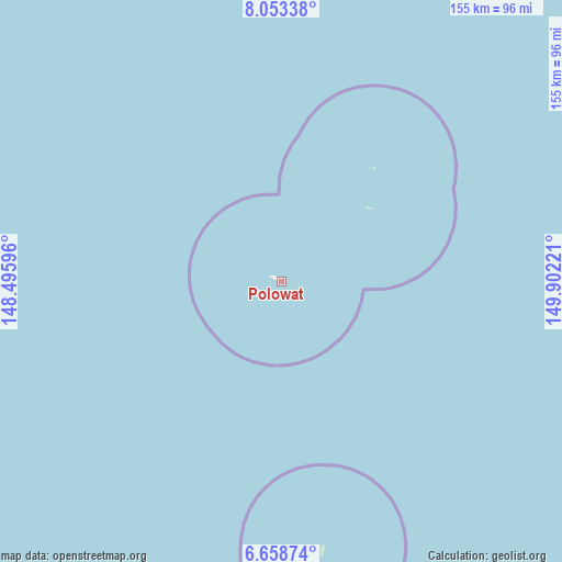
Polowat GPS coordinates[2]
7° 21' 23.796" North, 149° 11' 56.688" East
| Map corner | latitude | longitude |
|---|---|---|
| Upper-left | 8.05338°, | 148.49596° |
| Center: | 7.35661°, | 149.19908° |
| Lower-right: | 6.65874°, | 149.90221° |
| Map W x H: | 155.1×155.1 km | = 96.4×96.4mi |
| max Lat: | 9.766° ⇑43.3% North |
| Polowat: | 7.35661° |
| min Lat: | ⇓56.7% South 1.07861° |
| min Long | Polowat | max Long |
| 137.484° | 149.19908° | 163.02609° |
| W 21.7%⇐ | ⇒78.3% E |
Elevation
Elevation of Polowat is 11 m = 36 ft, and this is 3.8 m = 12 ft below average elevation for this country.
| Max E: |
92 m = 302 ft | 51.7% |
| Avg. | 14.8 m = 49 ft | |
| Polowat | 11 m = 36 ft | |
Min E: |
1 m = 3 ft | 48.3% |
See also: Micronesia elevation on elevation.city.
Geographical zone
Polowat is located in North Torrid zone (between Equator and Tropic of Cancer). Distance of Equator is 818 km =508.3 mi to South.| Distance of | km | miles | from Polowat |
|---|---|---|---|
| North Pole | 9189.1 | 5709.8 | to North |
| Arctic Circle | 6583.2 | 4090.6 | to North |
| Tropic Cancer | 1787.9 | 1110.9 | to North |
| Equator | 818 | 508.3 | to South |


Nearby cities:
15 places around Polowat: (largest is in red/bold)
• Houk
75 km =46.6 mi,  171°
171°
• Makur
207.9 km =129.2 mi,  29°
29°
• Nomwin
305 km =189.5 mi,  66°
66°
• Onou
200.5 km =124.6 mi,  36°
36°
• Onoun
145.7 km =90.5 mi,  21°
21°
• Onoun
146 km =90.7 mi, 21°
• Pisaras
190.3 km =118.2 mi, 44°
• Pulap
40.1 km =24.9 mi, 39°
• Pulap Village
40.1 km =24.9 mi, 39°
• Satawal
239 km =148.5 mi,  270°
270°
• Satawal Village
239.6 km =148.9 mi, 270°
• Tamatam
31.2 km =19.4 mi,  49°
49°
• Tonoas Municipal Building
296.1 km =184 mi,  89°
89°
• Unanu
199.5 km =124 mi, 39°
• Weno
291.5 km =181.1 mi, 88°
Sources, notices
• [Note1] Compared only with cities in Micronesia existing in our database
• [Src1] Map data: © OpenStreetMap contributors (CC-BY-SA)
• [Src2] Other city data from geonames.org with taken over terms of usage.
• [Src3] Geographical zone / Annual Mean Temperature by Robert A. Rohde @ Wikipedia
