Satawal Village geodata
Satawal Village (Yap) is a populated place; located in Micronesia in Pacific/Chuuk (GMT+10) time zone. With population of 531 people, there are 16 cities with bigger population in this country. Compared to other cities in Micronesia, 60% of cities are located further ↓South; 81.7% of cities are located further →East and 68.3% of cities have higher elevation than Satawal Village. Note1


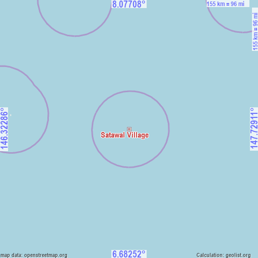
Satawal Village GPS coordinates[2]
7° 22' 49.26" North, 147° 1' 33.528" East
| Map corner | latitude | longitude |
|---|---|---|
| Upper-left | 8.07708°, | 146.32286° |
| Center: | 7.38035°, | 147.02598° |
| Lower-right: | 6.68252°, | 147.72911° |
| Map W x H: | 155.1×155.1 km | = 96.4×96.4mi |
| max Lat: | 9.766° ⇑40% North |
| Satawal Village: | 7.38035° |
| min Lat: | ⇓60% South 1.07861° |
| min Long | Satawal Village | max Long |
| 137.484° | 147.02598° | 163.02609° |
| W 18.3%⇐ | ⇒81.7% E |
Elevation
Elevation of Satawal Village is 9 m = 30 ft, and this is 5.8 m = 19 ft below average elevation for this country.
| Max E: |
92 m = 302 ft | 68.3% |
| Avg. | 14.8 m = 49 ft | |
| Satawal Village | 9 m = 30 ft | |
Min E: |
1 m = 3 ft | 31.7% |
See also: Micronesia elevation on elevation.city.
Geographical zone
Satawal Village is located in North Torrid zone (between Equator and Tropic of Cancer). Distance of Equator is 820.6 km =509.9 mi to South.| Distance of | km | miles | from Satawal Village |
|---|---|---|---|
| North Pole | 9186.4 | 5708.2 | to North |
| Arctic Circle | 6580.6 | 4089 | to North |
| Tropic Cancer | 1785.3 | 1109.3 | to North |
| Equator | 820.6 | 509.9 | to South |


Nearby cities:
15 places around Satawal Village: (largest is in red/bold)
• Elato
95.8 km =59.5 mi,  278°
278°
• Faraulep
308.1 km =191.4 mi,  295°
295°
• Houk
262.3 km =163 mi,  107°
107°
• Ifalik
285.1 km =177.2 mi,  267°
267°
• Ifalik Village
284.1 km =176.5 mi, 267°
• Lamotrek
80.4 km =50 mi, 278°
• Makur
385.2 km =239.4 mi,  62°
62°
• Onou
392.6 km =244 mi,  66°
66°
• Onoun
321.5 km =199.8 mi, 65°
• Onoun
321.7 km =199.9 mi, 65°
• Polowat
239.6 km =148.9 mi,  90°
90°
• Pulap
266.4 km =165.5 mi,  83°
83°
• Pulap Village
266.3 km =165.5 mi, 83°
• Satawal
0.7 km =0.4 mi, 75°
• Tamatam
263.9 km =164 mi, 86°
Sources, notices
• [Note1] Compared only with cities in Micronesia existing in our database
• [Src1] Map data: © OpenStreetMap contributors (CC-BY-SA)
• [Src2] Other city data from geonames.org with taken over terms of usage.
• [Src3] Geographical zone / Annual Mean Temperature by Robert A. Rohde @ Wikipedia
