Vágur geodata
Vágur (Suðuroy) is a populated place; located in Faroe Islands in Atlantic/Faroe (GMT+1) time zone. With population of 1,569 people, there are 4 cities with bigger population in this country. Compared to other cities in Faroe Islands, 100% of cities are located further ↑North; 66.7% of cities are located further →East and 86.7% of cities have lower elevation than Vágur. Note1


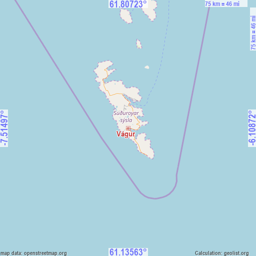
Vágur GPS coordinates[2]
61° 28' 23.664" North, 6° 48' 42.66" West
| Map corner | latitude | longitude |
|---|---|---|
| Upper-left | 61.80723°, | -7.51497° |
| Center: | 61.47324°, | -6.81185° |
| Lower-right: | 61.13563°, | -6.10872° |
| Map W x H: | 74.7×74.7 km | = 46.4×46.4mi |
| max Lat: | 62.35999° ⇑100% North |
| Vágur: | 61.47324° |
| min Lat: | ⇓0% South 61.47324° |
| min Long | Vágur | max Long |
| -7.30749° | -6.81185° | -6.32379° |
| W 33.3%⇐ | ⇒66.7% E |
Elevation
Elevation of Vágur is 144 m = 472 ft, and this is 55.6 m = 182 ft above average elevation for this country.
| Max E: |
358 m = 1175 ft | 13.3% |
| Vágur | 144 m 472 ft | |
| Avg. | 88.4 m = 290 ft | |
Min E: |
1 m = 3 ft | 86.7% |
See also: Faroe Islands elevation on elevation.city.
Geographical zone
Vágur is located in North temperate zone (between Tropic of Cancer and the Arctic Circle). Distance of this North polar circle is 566 km =351.7 mi to North.| Distance of | km | miles | from Vágur |
|---|---|---|---|
| North Pole | 3171.9 | 1970.9 | to North |
| Arctic Circle | 566 | 351.7 | to North |
| Tropic Cancer | 4229.3 | 2628 | to South |
| Equator | 6835.2 | 4247.2 | to South |


Nearby cities:
15 places around Vágur: (largest is in red/bold)
• Argir
58.2 km =36.2 mi,  2°
2°
• Hov
4.6 km =2.9 mi,  36°
36°
• Hoyvík
62.4 km =38.8 mi, 1°
• Hvalba
16.4 km =10.2 mi,  331°
331°
• Miðvágur
67.3 km =41.8 mi,  342°
342°
• Porkeri
3.7 km =2.3 mi,  75°
75°
• Sandavágur
66.9 km =41.6 mi, 344°
• Sandur
41.1 km =25.5 mi, 0°
• Skopun
47.9 km =29.8 mi,  355°
355°
• Skálavík
40.6 km =25.2 mi,  11°
11°
• Skúvoy
33.1 km =20.6 mi, 0°
• Strendur
70.6 km =43.9 mi, 2°
• Toftir
15.5 km =9.6 mi, 332°
• Tvøroyri
9.2 km =5.7 mi, 0°
• Tórshavn
59.7 km =37.1 mi, 2°
Sources, notices
• [Note1] Compared only with cities in Faroe Islands existing in our database
• [Src1] Map data: © OpenStreetMap contributors (CC-BY-SA)
• [Src2] Other city data from geonames.org with taken over terms of usage.
• [Src3] Geographical zone / Annual Mean Temperature by Robert A. Rohde @ Wikipedia
