Marnay geodata
Marnay (Bourgogne-Franche-Comté) is a populated place; located in France in Europe/Paris (GMT+2) time zone. With population of 1,311 people, there are 6972 cities with bigger population in this country. Compared to other cities in France, 51.6% of cities are located further ↑North; 84.9% of cities are located further ←West and 67.2% of cities have lower elevation than Marnay. Note1
Administrative division(s):
- Level 1: Bourgogne-Franche-Comté
- Level 2: Département de la Haute-Saône
- Level 3: Arrondissement de Vesoul
- Level 4: Marnay


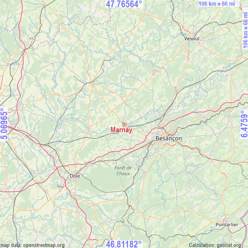
Marnay GPS coordinates[2]
47° 17' 27.168" North, 5° 46' 21.972" East
| Map corner | latitude | longitude |
|---|---|---|
| Upper-left | 47.76564°, | 5.06965° |
| Center: | 47.29088°, | 5.77277° |
| Lower-right: | 46.81182°, | 6.4759° |
| Map W x H: | 106.1×106.1 km | = 65.9×65.9mi |
| max Lat: | 51.07786° ⇑51.6% North |
| Marnay: | 47.29088° |
| min Lat: | ⇓48.4% South 41.3874° |
| min Long | Marnay | max Long |
| -5.08615° | 5.77277° | 9.52242° |
| W 84.9%⇐ | ⇒15.1% E |
Elevation
Elevation of Marnay is 205 m = 673 ft, and this is 11.3 m = 37 ft above average elevation for this country.
| Max E: |
2333 m = 7654 ft | 32.8% |
| Marnay | 205 m 673 ft | |
| Avg. | 193.7 m = 635 ft | |
Min E: |
-1 m = -3 ft | 67.2% |
See also: France elevation on elevation.city.
Geographical zone
Marnay is located in North temperate zone (between Tropic of Cancer and the Arctic Circle). Distance of this North polar circle is 2142.9 km =1331.5 mi to North.| Distance of | km | miles | from Marnay |
|---|---|---|---|
| North Pole | 4748.8 | 2950.8 | to North |
| Arctic Circle | 2142.9 | 1331.5 | to North |
| Tropic Cancer | 2652.3 | 1648.1 | to South |
| Equator | 5258.3 | 3267.4 | to South |


Nearby cities:
15 places around Marnay: (largest is in red/bold)
• Auxon-Dessous
13.4 km =8.3 mi,  85°
85°
• Chaucenne
9.5 km =5.9 mi, 94°
• Chemaudin
11.8 km =7.3 mi,  129°
129°
• Dannemarie-sur-Crête
12.1 km =7.5 mi,  142°
142°
• Gy
13.1 km =8.1 mi,  13°
13°
• Pelousey
11.4 km =7.1 mi,  98°
98°
• Pin
7.6 km =4.7 mi,  67°
67°
• Pouilley-Français
10.9 km =6.8 mi,  149°
149°
• Pouilley-les-Vignes
12.8 km =8 mi,  106°
106°
• Recologne
4.8 km =3 mi,  115°
115°
• Saint-Vit
12.4 km =7.7 mi,  164°
164°
• Serre-les-Sapins
12.9 km =8 mi, 110°
• Valay
11.4 km =7.1 mi,  297°
297°
• Émagny
7.6 km =4.7 mi, 72°
• Évans
12.5 km =7.8 mi,  181°
181°
Sources, notices
• [Note1] Compared only with cities in France existing in our database
• [Src1] Map data: © OpenStreetMap contributors (CC-BY-SA)
• [Src2] Other city data from geonames.org with taken over terms of usage.
• [Src3] Geographical zone / Annual Mean Temperature by Robert A. Rohde @ Wikipedia
