Locquénolé geodata
Locquénolé (Brittany) is a populated place; located in France in Europe/Paris (GMT+2) time zone. With population of 774 people, there are 10892 cities with bigger population in this country. Compared to other cities in France, 71.5% of cities are located further ↓South; 98.8% of cities are located further →East and 92.4% of cities have higher elevation than Locquénolé. Note1
Administrative division(s):
- Level 1: Brittany
- Level 2: Département du Finistère
- Level 3: Arrondissement de Morlaix
- Level 4: Locquénolé


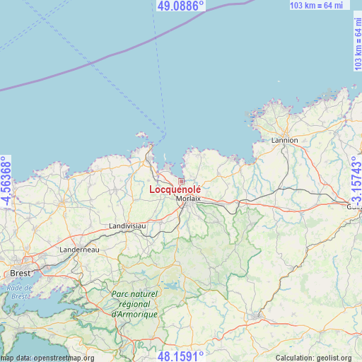
Locquénolé GPS coordinates[2]
48° 37' 33.564" North, 3° 51' 38.016" West
| Map corner | latitude | longitude |
|---|---|---|
| Upper-left | 49.0886°, | -4.56368° |
| Center: | 48.62599°, | -3.86056° |
| Lower-right: | 48.1591°, | -3.15743° |
| Map W x H: | 103.4×103.3 km | = 64.2×64.2mi |
| max Lat: | 51.07786° ⇑28.5% North |
| Locquénolé: | 48.62599° |
| min Lat: | ⇓71.5% South 41.3874° |
| min Long | Locquénolé | max Long |
| -5.08615° | -3.86056° | 9.52242° |
| W 1.2%⇐ | ⇒98.8% E |
Elevation
Elevation of Locquénolé is 24 m = 79 ft, and this is 169.7 m = 557 ft below average elevation for this country.
| Max E: |
2333 m = 7654 ft | 92.4% |
| Avg. | 193.7 m = 635 ft | |
| Locquénolé | 24 m = 79 ft | |
Min E: |
-1 m = -3 ft | 7.6% |
See also: France elevation on elevation.city.
Geographical zone
Locquénolé is located in North temperate zone (between Tropic of Cancer and the Arctic Circle). Distance of this North polar circle is 1994.5 km =1239.3 mi to North.| Distance of | km | miles | from Locquénolé |
|---|---|---|---|
| North Pole | 4600.4 | 2858.6 | to North |
| Arctic Circle | 1994.5 | 1239.3 | to North |
| Tropic Cancer | 2800.8 | 1740.3 | to South |
| Equator | 5406.7 | 3359.6 | to South |


Nearby cities:
15 places around Locquénolé: (largest is in red/bold)
• Carantec
6.2 km =3.9 mi,  319°
319°
• Garlan
8.1 km =5 mi,  109°
109°
• Guiclan
11.3 km =7 mi,  221°
221°
• Henvic
4.9 km =3 mi,  278°
278°
• Lanmeur
10.9 km =6.8 mi,  77°
77°
• Morlaix
5.9 km =3.7 mi,  156°
156°
• Plouezoc'h
3.3 km =2.1 mi, 75°
• Plougasnou
9.4 km =5.8 mi,  28°
28°
• Plourin-lès-Morlaix
11.8 km =7.3 mi,  151°
151°
• Plouénan
10.3 km =6.4 mi,  274°
274°
• Saint-Jean-du-Doigt
10.7 km =6.6 mi,  39°
39°
• Saint-Martin-des-Champs
5.1 km =3.2 mi, 157°
• Saint-Pol-de-Léon
11 km =6.8 mi,  305°
305°
• Sainte-Sève
6.6 km =4.1 mi,  183°
183°
• Taulé
4.1 km =2.5 mi,  225°
225°
Sources, notices
• [Note1] Compared only with cities in France existing in our database
• [Src1] Map data: © OpenStreetMap contributors (CC-BY-SA)
• [Src2] Other city data from geonames.org with taken over terms of usage.
• [Src3] Geographical zone / Annual Mean Temperature by Robert A. Rohde @ Wikipedia
