Lanmeur geodata
Lanmeur (Brittany) is a populated place; located in France in Europe/Paris (GMT+2) time zone. With population of 2,195 people, there are 4376 cities with bigger population in this country. Compared to other cities in France, 72% of cities are located further ↓South; 98.6% of cities are located further →East and 57.3% of cities have higher elevation than Lanmeur. Note1
Administrative division(s):
- Level 1: Brittany
- Level 2: Département du Finistère
- Level 3: Arrondissement de Morlaix
- Level 4: Lanmeur


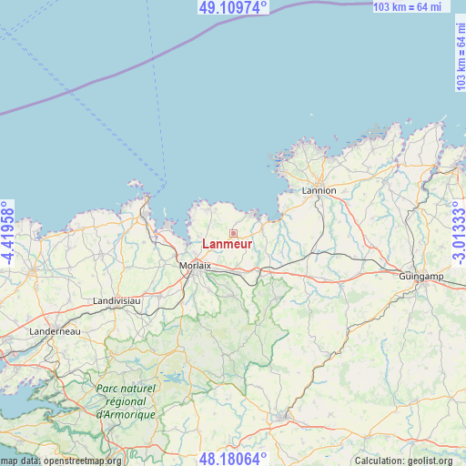
Lanmeur GPS coordinates[2]
48° 38' 50.388" North, 3° 42' 59.22" West
| Map corner | latitude | longitude |
|---|---|---|
| Upper-left | 49.10974°, | -4.41958° |
| Center: | 48.64733°, | -3.71645° |
| Lower-right: | 48.18064°, | -3.01333° |
| Map W x H: | 103.3×103.3 km | = 64.2×64.2mi |
| max Lat: | 51.07786° ⇑28% North |
| Lanmeur: | 48.64733° |
| min Lat: | ⇓72% South 41.3874° |
| min Long | Lanmeur | max Long |
| -5.08615° | -3.71645° | 9.52242° |
| W 1.4%⇐ | ⇒98.6% E |
Elevation
Elevation of Lanmeur is 110 m = 361 ft, and this is 83.7 m = 275 ft below average elevation for this country.
| Max E: |
2333 m = 7654 ft | 57.3% |
| Avg. | 193.7 m = 635 ft | |
| Lanmeur | 110 m = 361 ft | |
Min E: |
-1 m = -3 ft | 42.7% |
See also: France elevation on elevation.city.
Geographical zone
Lanmeur is located in North temperate zone (between Tropic of Cancer and the Arctic Circle). Distance of this North polar circle is 1992.1 km =1237.8 mi to North.| Distance of | km | miles | from Lanmeur |
|---|---|---|---|
| North Pole | 4598 | 2857.1 | to North |
| Arctic Circle | 1992.1 | 1237.8 | to North |
| Tropic Cancer | 2803.2 | 1741.8 | to South |
| Equator | 5409.1 | 3361.1 | to South |


Nearby cities:
15 places around Lanmeur: (largest is in red/bold)
• Garlan
5.8 km =3.6 mi,  210°
210°
• Guimaëc
2.2 km =1.4 mi,  15°
15°
• Locquirec
7.2 km =4.5 mi,  46°
46°
• Locquénolé
10.9 km =6.8 mi,  257°
257°
• Morlaix
11.3 km =7 mi,  226°
226°
• Plestin-les-Grèves
6.4 km =4 mi,  78°
78°
• Plouezoc'h
7.5 km =4.7 mi, 258°
• Plougasnou
8.5 km =5.3 mi,  313°
313°
• Plouigneau
9 km =5.6 mi,  172°
172°
• Plouégat-Guérand
5 km =3.1 mi,  132°
132°
• Plouégat-Moysan
11.6 km =7.2 mi,  140°
140°
• Plufur
12.2 km =7.6 mi,  115°
115°
• Saint-Jean-du-Doigt
6.9 km =4.3 mi,  327°
327°
• Saint-Martin-des-Champs
11.2 km =7 mi, 230°
• Trédrez-Locquémeau
12.5 km =7.8 mi,  61°
61°
Sources, notices
• [Note1] Compared only with cities in France existing in our database
• [Src1] Map data: © OpenStreetMap contributors (CC-BY-SA)
• [Src2] Other city data from geonames.org with taken over terms of usage.
• [Src3] Geographical zone / Annual Mean Temperature by Robert A. Rohde @ Wikipedia
