Félines geodata
Félines (Auvergne-Rhône-Alpes) is a populated place; located in France in Europe/Paris (GMT+2) time zone. With population of 1,167 people, there are 7724 cities with bigger population in this country. Compared to other cities in France, 76.2% of cities are located further ↑North; 74.1% of cities are located further ←West and 86.7% of cities have lower elevation than Félines. Note1
Administrative division(s):
- Level 1: Auvergne-Rhône-Alpes
- Level 2: Département de l'Ardèche
- Level 3: Arrondissement de Tournon-sur-Rhône
- Level 4: Félines


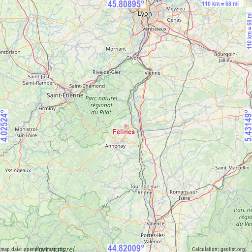
Félines GPS coordinates[2]
45° 19' 0.048" North, 4° 43' 42.096" East
| Map corner | latitude | longitude |
|---|---|---|
| Upper-left | 45.80895°, | 4.02524° |
| Center: | 45.31668°, | 4.72836° |
| Lower-right: | 44.82009°, | 5.43149° |
| Map W x H: | 110×109.9 km | = 68.4×68.3mi |
| max Lat: | 51.07786° ⇑76.2% North |
| Félines: | 45.31668° |
| min Lat: | ⇓23.8% South 41.3874° |
| min Long | Félines | max Long |
| -5.08615° | 4.72836° | 9.52242° |
| W 74.1%⇐ | ⇒25.9% E |
Elevation
Elevation of Félines is 370 m = 1214 ft, and this is 176.3 m = 578 ft above average elevation for this country.
| Max E: |
2333 m = 7654 ft | 13.3% |
| Félines | 370 m 1214 ft | |
| Avg. | 193.7 m = 635 ft | |
Min E: |
-1 m = -3 ft | 86.7% |
See also: France elevation on elevation.city.
Geographical zone
Félines is located in North temperate zone (between Tropic of Cancer and the Arctic Circle). Distance of this North polar circle is 2362.4 km =1467.9 mi to North.| Distance of | km | miles | from Félines |
|---|---|---|---|
| North Pole | 4968.3 | 3087.2 | to North |
| Arctic Circle | 2362.4 | 1467.9 | to North |
| Tropic Cancer | 2432.8 | 1511.7 | to South |
| Equator | 5038.7 | 3130.9 | to South |


Nearby cities:
15 places around Félines: (largest is in red/bold)
• Boulieu-lès-Annonay
7 km =4.3 mi,  223°
223°
• Champagne
7.4 km =4.6 mi,  130°
130°
• Chanas
7.1 km =4.4 mi,  88°
88°
• Charnas
2.5 km =1.6 mi,  28°
28°
• Davézieux
7 km =4.3 mi,  193°
193°
• Limony
4.5 km =2.8 mi, 30°
• Maclas
6.3 km =3.9 mi,  324°
324°
• Peaugres
3.4 km =2.1 mi,  179°
179°
• Sablons
3.6 km =2.2 mi,  82°
82°
• Saint-Appolinard
6.3 km =3.9 mi,  297°
297°
• Saint-Clair
5.7 km =3.5 mi, 221°
• Saint-Cyr
7.2 km =4.5 mi, 178°
• Saint-Pierre-de-Bœuf
5.8 km =3.6 mi,  16°
16°
• Savas
3.6 km =2.2 mi,  231°
231°
• Serrières
2.7 km =1.7 mi, 86°
Sources, notices
• [Note1] Compared only with cities in France existing in our database
• [Src1] Map data: © OpenStreetMap contributors (CC-BY-SA)
• [Src2] Other city data from geonames.org with taken over terms of usage.
• [Src3] Geographical zone / Annual Mean Temperature by Robert A. Rohde @ Wikipedia
