Bénac geodata
Bénac (Occitanie) is a populated place; located in France in Europe/Paris (GMT+2) time zone. With population of 508 people, there are 15076 cities with bigger population in this country. Compared to other cities in France, 97.6% of cities are located further ↑North; 77.9% of cities are located further →East and 85.6% of cities have lower elevation than Bénac. Note1
Administrative division(s):
- Level 1: Occitanie
- Level 2: Département des Hautes-Pyrénées
- Level 3: Arrondissement de Tarbes
- Level 4: Bénac


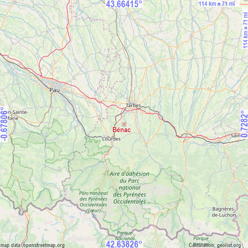
Bénac GPS coordinates[2]
43° 9' 12.096" North, 0° 1' 30.252" East
| Map corner | latitude | longitude |
|---|---|---|
| Upper-left | 43.66415°, | -0.67806° |
| Center: | 43.15336°, | 0.02507° |
| Lower-right: | 42.63826°, | 0.7282° |
| Map W x H: | 114.1×114.1 km | = 70.9×70.9mi |
| max Lat: | 51.07786° ⇑97.6% North |
| Bénac: | 43.15336° |
| min Lat: | ⇓2.4% South 41.3874° |
| min Long | Bénac | max Long |
| -5.08615° | 0.02507° | 9.52242° |
| W 22.1%⇐ | ⇒77.9% E |
Elevation
Elevation of Bénac is 354 m = 1161 ft, and this is 160.3 m = 526 ft above average elevation for this country.
| Max E: |
2333 m = 7654 ft | 14.4% |
| Bénac | 354 m 1161 ft | |
| Avg. | 193.7 m = 635 ft | |
Min E: |
-1 m = -3 ft | 85.6% |
See also: France elevation on elevation.city.
Geographical zone
Bénac is located in North temperate zone (between Tropic of Cancer and the Arctic Circle). Distance of this Northern Tropic circle is 2192.3 km =1362.2 mi to South.| Distance of | km | miles | from Bénac |
|---|---|---|---|
| North Pole | 5208.9 | 3236.7 | to North |
| Arctic Circle | 2603 | 1617.4 | to North |
| Tropic Cancer | 2192.3 | 1362.2 | to South |
| Equator | 4798.2 | 2981.5 | to South |


Nearby cities:
15 places around Bénac: (largest is in red/bold)
• Adé
5.2 km =3.2 mi,  244°
244°
• Azereix
7.8 km =4.8 mi,  334°
334°
• Bernac-Debat
6.9 km =4.3 mi,  76°
76°
• Horgues
6.4 km =4 mi,  52°
52°
• Juillan
5.1 km =3.2 mi,  0°
0°
• Laloubère
6.9 km =4.3 mi,  34°
34°
• Lanne
1.6 km =1 mi,  322°
322°
• Louey
2.6 km =1.6 mi,  349°
349°
• Lourdes
8.5 km =5.3 mi,  225°
225°
• Momères
5.9 km =3.7 mi,  62°
62°
• Montgaillard
7.4 km =4.6 mi,  115°
115°
• Odos
5.4 km =3.4 mi, 28°
• Ossun
5.8 km =3.6 mi,  305°
305°
• Poueyferré
8.5 km =5.3 mi, 241°
• Soues
8.5 km =5.3 mi,  44°
44°
Sources, notices
• [Note1] Compared only with cities in France existing in our database
• [Src1] Map data: © OpenStreetMap contributors (CC-BY-SA)
• [Src2] Other city data from geonames.org with taken over terms of usage.
• [Src3] Geographical zone / Annual Mean Temperature by Robert A. Rohde @ Wikipedia
