Wigtown geodata
Wigtown (Scotland) is a populated place; located in United Kingdom in Europe/London (GMT+1) time zone. With population of 900 people, there are 3809 cities with bigger population in this country. Compared to other cities in United Kingdom, 85.5% of cities are located further ↓South; 92.7% of cities are located further →East and 61% of cities have higher elevation than Wigtown. Note1


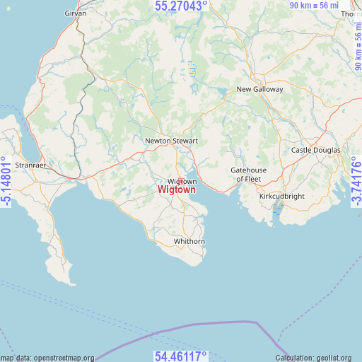
Wigtown GPS coordinates[2]
54° 52' 4.188" North, 4° 26' 41.604" West
| Map corner | latitude | longitude |
|---|---|---|
| Upper-left | 55.27043°, | -5.14801° |
| Center: | 54.86783°, | -4.44489° |
| Lower-right: | 54.46117°, | -3.74176° |
| Map W x H: | 90×90 km | = 55.9×55.9mi |
| max Lat: | 60.39635° ⇑14.5% North |
| Wigtown: | 54.86783° |
| min Lat: | ⇓85.5% South 34.60088° |
| min Long | Wigtown | max Long |
| -7.64133° | -4.44489° | 32.95536° |
| W 7.3%⇐ | ⇒92.7% E |
Elevation
Elevation of Wigtown is 45 m = 148 ft, and this is 27.9 m = 92 ft below average elevation for this country.
| Max E: |
515 m = 1690 ft | 61% |
| Avg. | 72.9 m = 239 ft | |
| Wigtown | 45 m = 148 ft | |
Min E: |
-30 m = -98 ft | 39% |
See also: United Kingdom elevation on elevation.city.
Geographical zone
Wigtown is located in North temperate zone (between Tropic of Cancer and the Arctic Circle). Distance of this North polar circle is 1300.4 km =808 mi to North.| Distance of | km | miles | from Wigtown |
|---|---|---|---|
| North Pole | 3906.3 | 2427.3 | to North |
| Arctic Circle | 1300.4 | 808 | to North |
| Tropic Cancer | 3494.8 | 2171.6 | to South |
| Equator | 6100.7 | 3790.8 | to South |


Nearby cities:
15 places around Wigtown: (largest is in red/bold)
• Bellsbank
49.6 km =30.8 mi,  3°
3°
• Cairnryan
38.5 km =23.9 mi,  287°
287°
• Castle Douglas
34 km =21.1 mi,  76°
76°
• Creetown
5.7 km =3.5 mi,  47°
47°
• Dailly
48.8 km =30.3 mi,  338°
338°
• Dalbeattie
40.4 km =25.1 mi, 79°
• Dalmellington
50.8 km =31.6 mi, 3°
• Gatehouse of Fleet
16.7 km =10.4 mi, 84°
• Girvan
49.2 km =30.6 mi,  327°
327°
• Glenluce
23.4 km =14.5 mi,  272°
272°
• Kirkcudbright
25.5 km =15.8 mi,  97°
97°
• Newton Stewart
10.3 km =6.4 mi,  346°
346°
• Portpatrick
43.1 km =26.8 mi, 266°
• Stranraer
37.4 km =23.2 mi,  275°
275°
• Whithorn
15.2 km =9.4 mi,  172°
172°
Sources, notices
• [Note1] Compared only with cities in United Kingdom existing in our database
• [Src1] Map data: © OpenStreetMap contributors (CC-BY-SA)
• [Src2] Other city data from geonames.org with taken over terms of usage.
• [Src3] Geographical zone / Annual Mean Temperature by Robert A. Rohde @ Wikipedia
