Rothley geodata
Rothley (England) is a seat of a third-order administrative division; located in United Kingdom in Europe/London (GMT+1) time zone. In our database, there are 4977 cities with bigger population. Compared to other cities in United Kingdom, 87.7% of cities are located further ↓South; 53.2% of cities are located further →East and 93.8% of cities have lower elevation than Rothley. Note1


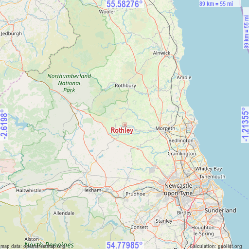
Rothley GPS coordinates[2]
55° 10' 59.988" North, 1° 55' 0.012" West
| Map corner | latitude | longitude |
|---|---|---|
| Upper-left | 55.58276°, | -2.6198° |
| Center: | 55.18333°, | -1.91667° |
| Lower-right: | 54.77985°, | -1.21355° |
| Map W x H: | 89.3×89.3 km | = 55.5×55.5mi |
| max Lat: | 60.39635° ⇑12.3% North |
| Rothley: | 55.18333° |
| min Lat: | ⇓87.7% South 34.60088° |
| min Long | Rothley | max Long |
| -7.64133° | -1.91667° | 32.95536° |
| W 46.8%⇐ | ⇒53.2% E |
Elevation
Elevation of Rothley is 172 m = 564 ft, and this is 99.1 m = 325 ft above average elevation for this country.
| Max E: |
515 m = 1690 ft | 6.2% |
| Rothley | 172 m 564 ft | |
| Avg. | 72.9 m = 239 ft | |
Min E: |
-30 m = -98 ft | 93.8% |
See also: United Kingdom elevation on elevation.city.
Geographical zone
Rothley is located in North temperate zone (between Tropic of Cancer and the Arctic Circle). Distance of this North polar circle is 1265.4 km =786.3 mi to North.| Distance of | km | miles | from Rothley |
|---|---|---|---|
| North Pole | 3871.3 | 2405.5 | to North |
| Arctic Circle | 1265.4 | 786.3 | to North |
| Tropic Cancer | 3529.9 | 2193.4 | to South |
| Equator | 6135.8 | 3812.6 | to South |


Nearby cities:
15 places around Rothley: (largest is in red/bold)
• Corsenside
15.9 km =9.9 mi,  270°
270°
• Darras Hall
19.1 km =11.9 mi,  149°
149°
• Felton
18.2 km =11.3 mi,  45°
45°
• Hartburn
4.6 km =2.9 mi,  113°
113°
• Hebron
14.8 km =9.2 mi,  90°
90°
• Longframlington
15.5 km =9.6 mi,  29°
29°
• Longhorsley
11.7 km =7.3 mi, 53°
• Meldon
9.3 km =5.8 mi,  126°
126°
• Morpeth
14.6 km =9.1 mi,  96°
96°
• Otterburn
17.6 km =10.9 mi,  288°
288°
• Pegswood
17.2 km =10.7 mi, 91°
• Ponteland
18.4 km =11.4 mi,  143°
143°
• Rothbury
14.2 km =8.8 mi,  2°
2°
• Stannington
17.8 km =11.1 mi,  117°
117°
• Swarland
19.1 km =11.9 mi, 34°
Sources, notices
• [Note1] Compared only with cities in United Kingdom existing in our database
• [Src1] Map data: © OpenStreetMap contributors (CC-BY-SA)
• [Src2] Other city data from geonames.org with taken over terms of usage.
• [Src3] Geographical zone / Annual Mean Temperature by Robert A. Rohde @ Wikipedia
