Moy geodata
Moy (Northern Ireland) is a populated place; located in United Kingdom in Europe/London (GMT+1) time zone. With population of 1,234 people, there are 3317 cities with bigger population in this country. Compared to other cities in United Kingdom, 81.5% of cities are located further ↓South; 99.4% of cities are located further →East and 82% of cities have higher elevation than Moy. Note1


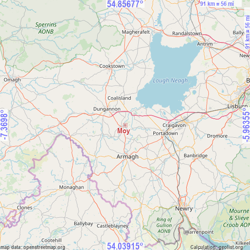
Moy GPS coordinates[2]
54° 27' 0" North, 6° 40' 0.012" West
| Map corner | latitude | longitude |
|---|---|---|
| Upper-left | 54.85677°, | -7.3698° |
| Center: | 54.45°, | -6.66667° |
| Lower-right: | 54.03915°, | -5.96355° |
| Map W x H: | 90.9×90.9 km | = 56.5×56.5mi |
| max Lat: | 60.39635° ⇑18.5% North |
| Moy: | 54.45° |
| min Lat: | ⇓81.5% South 34.60088° |
| min Long | Moy | max Long |
| -7.64133° | -6.66667° | 32.95536° |
| W 0.6%⇐ | ⇒99.4% E |
Elevation
Elevation of Moy is 19 m = 62 ft, and this is 53.9 m = 177 ft below average elevation for this country.
| Max E: |
515 m = 1690 ft | 82% |
| Avg. | 72.9 m = 239 ft | |
| Moy | 19 m = 62 ft | |
Min E: |
-30 m = -98 ft | 18% |
See also: United Kingdom elevation on elevation.city.
Geographical zone
Moy is located in North temperate zone (between Tropic of Cancer and the Arctic Circle). Distance of this North polar circle is 1346.9 km =836.9 mi to North.| Distance of | km | miles | from Moy |
|---|---|---|---|
| North Pole | 3952.8 | 2456.2 | to North |
| Arctic Circle | 1346.9 | 836.9 | to North |
| Tropic Cancer | 3448.4 | 2142.7 | to South |
| Equator | 6054.3 | 3762 | to South |


Nearby cities:
15 places around Moy: (largest is in red/bold)
• Armagh
11.1 km =6.9 mi,  180°
180°
• Banbridge
27.2 km =16.9 mi,  114°
114°
• Coalisland
10.5 km =6.5 mi,  347°
347°
• Cookstown
22.1 km =13.7 mi, 346°
• Craigavon
18.1 km =11.2 mi,  91°
91°
• Dungannon
8.8 km =5.5 mi,  312°
312°
• Gilford
21.6 km =13.4 mi, 113°
• Glenavy
33.2 km =20.6 mi,  61°
61°
• Keady
22.3 km =13.9 mi,  185°
185°
• Magheralin
26.4 km =16.4 mi, 85°
• Moira
28.5 km =17.7 mi,  83°
83°
• Moneymore
26.9 km =16.7 mi,  359°
359°
• Portadown
14.7 km =9.1 mi,  101°
101°
• Tandragee
19.5 km =12.1 mi,  122°
122°
• Waringstown
23.8 km =14.8 mi, 94°
Sources, notices
• [Note1] Compared only with cities in United Kingdom existing in our database
• [Src1] Map data: © OpenStreetMap contributors (CC-BY-SA)
• [Src2] Other city data from geonames.org with taken over terms of usage.
• [Src3] Geographical zone / Annual Mean Temperature by Robert A. Rohde @ Wikipedia
