Lisburn geodata
Lisburn (Northern Ireland) is a seat of a second-order administrative division; located in United Kingdom in Europe/London (GMT+1) time zone. With population of 77,506 people, there are 131 cities with bigger population in this country. Compared to other cities in United Kingdom, 82.1% of cities are located further ↓South; 98.4% of cities are located further →East and 55.1% of cities have higher elevation than Lisburn. Note1


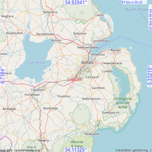
Lisburn GPS coordinates[2]
54° 31' 24.132" North, 6° 2' 6.972" West
| Map corner | latitude | longitude |
|---|---|---|
| Upper-left | 54.92941°, | -6.7384° |
| Center: | 54.52337°, | -6.03527° |
| Lower-right: | 54.11325°, | -5.33215° |
| Map W x H: | 90.7×90.7 km | = 56.4×56.4mi |
| max Lat: | 60.39635° ⇑17.9% North |
| Lisburn: | 54.52337° |
| min Lat: | ⇓82.1% South 34.60088° |
| min Long | Lisburn | max Long |
| -7.64133° | -6.03527° | 32.95536° |
| W 1.6%⇐ | ⇒98.4% E |
Elevation
Elevation of Lisburn is 53 m = 174 ft, and this is 19.9 m = 65 ft below average elevation for this country.
| Max E: |
515 m = 1690 ft | 55.1% |
| Avg. | 72.9 m = 239 ft | |
| Lisburn | 53 m = 174 ft | |
Min E: |
-30 m = -98 ft | 44.9% |
See also: Lisburn elevation on elevation.city.
Geographical zone
Lisburn is located in North temperate zone (between Tropic of Cancer and the Arctic Circle). Distance of this North polar circle is 1338.7 km =831.8 mi to North.| Distance of | km | miles | from Lisburn |
|---|---|---|---|
| North Pole | 3944.6 | 2451.1 | to North |
| Arctic Circle | 1338.7 | 831.8 | to North |
| Tropic Cancer | 3456.5 | 2147.8 | to South |
| Equator | 6062.4 | 3767 | to South |


Nearby cities:
15 places around Lisburn: (largest is in red/bold)
• Annahilt
10.3 km =6.4 mi,  167°
167°
• Ballygowan
15.9 km =9.9 mi,  98°
98°
• Ballynahinch
16.2 km =10.1 mi,  146°
146°
• Belfast
10.8 km =6.7 mi,  40°
40°
• Carryduff
9.6 km =6 mi,  93°
93°
• Castlereagh
11.2 km =7 mi,  60°
60°
• Crumlin
15.8 km =9.8 mi,  313°
313°
• Dundonald
17.1 km =10.6 mi, 63°
• Glenavy
13.8 km =8.6 mi,  303°
303°
• Hillsborough
7.2 km =4.5 mi,  201°
201°
• Magheralin
15.8 km =9.8 mi,  246°
246°
• Moira
13.4 km =8.3 mi, 248°
• Newtownabbey
17.2 km =10.7 mi,  28°
28°
• Saintfield
15 km =9.3 mi,  117°
117°
• Templepatrick
18.1 km =11.2 mi,  350°
350°
Sources, notices
• [Note1] Compared only with cities in United Kingdom existing in our database
• [Src1] Map data: © OpenStreetMap contributors (CC-BY-SA)
• [Src2] Other city data from geonames.org with taken over terms of usage.
• [Src3] Geographical zone / Annual Mean Temperature by Robert A. Rohde @ Wikipedia
