High Ercall geodata
High Ercall (England) is a populated place; located in United Kingdom in Europe/London (GMT+0) time zone. With population of 686 people, there are 4309 cities with bigger population in this country. Compared to other cities in United Kingdom, 56.4% of cities are located further ↓South; 67.1% of cities are located further →East and 57.7% of cities have lower elevation than High Ercall. Note1


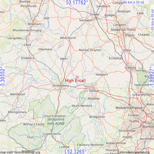
High Ercall GPS coordinates[2]
52° 45' 14.904" North, 2° 36' 8.604" West
| Map corner | latitude | longitude |
|---|---|---|
| Upper-left | 53.17762°, | -3.30552° |
| Center: | 52.75414°, | -2.60239° |
| Lower-right: | 52.3265°, | -1.89927° |
| Map W x H: | 94.6×94.6 km | = 58.8×58.8mi |
| max Lat: | 60.39635° ⇑43.6% North |
| High Ercall: | 52.75414° |
| min Lat: | ⇓56.4% South 34.60088° |
| min Long | High Ercall | max Long |
| -7.64133° | -2.60239° | 32.95536° |
| W 32.9%⇐ | ⇒67.1% E |
Elevation
Elevation of High Ercall is 73 m = 240 ft, and this is 0.099999999999994 m = 0 ft above average elevation for this country.
| Max E: |
515 m = 1690 ft | 42.3% |
| High Ercall | 73 m 240 ft | |
| Avg. | 72.9 m = 239 ft | |
Min E: |
-30 m = -98 ft | 57.7% |
See also: United Kingdom elevation on elevation.city.
Geographical zone
High Ercall is located in North temperate zone (between Tropic of Cancer and the Arctic Circle). Distance of this North polar circle is 1535.5 km =954.1 mi to North.| Distance of | km | miles | from High Ercall |
|---|---|---|---|
| North Pole | 4141.4 | 2573.3 | to North |
| Arctic Circle | 1535.5 | 954.1 | to North |
| Tropic Cancer | 3259.8 | 2025.5 | to South |
| Equator | 5865.7 | 3644.8 | to South |


Nearby cities:
15 places around High Ercall: (largest is in red/bold)
• Astley
6.7 km =4.2 mi,  281°
281°
• Berrington
13.3 km =8.3 mi,  209°
209°
• Clive
10.4 km =6.5 mi,  309°
309°
• Edgmond
13.2 km =8.2 mi,  80°
80°
• Eyton upon the Weald Moors
6.2 km =3.9 mi,  111°
111°
• Hadley
10 km =6.2 mi,  126°
126°
• Hinstock
13.4 km =8.3 mi,  46°
46°
• Oakengates
12.2 km =7.6 mi,  122°
122°
• Shawbury
5.7 km =3.5 mi,  315°
315°
• Shrewsbury
11.2 km =7 mi,  244°
244°
• Stoke upon Tern
11.6 km =7.2 mi,  23°
23°
• Telford
13.4 km =8.3 mi, 129°
• Tibberton
9.1 km =5.7 mi,  73°
73°
• Wellington
8.3 km =5.2 mi,  136°
136°
• Withington
4.2 km =2.6 mi,  177°
177°
Sources, notices
• [Note1] Compared only with cities in United Kingdom existing in our database
• [Src1] Map data: © OpenStreetMap contributors (CC-BY-SA)
• [Src2] Other city data from geonames.org with taken over terms of usage.
• [Src3] Geographical zone / Annual Mean Temperature by Robert A. Rohde @ Wikipedia
