Gorleston-on-Sea geodata
Gorleston-on-Sea (England) is a populated place; located in United Kingdom in Europe/London (GMT+1) time zone. With population of 5,882 people, there are 1478 cities with bigger population in this country. Compared to other cities in United Kingdom, 51.7% of cities are located further ↓South; 99.9% of cities are located further ←West and 99% of cities have higher elevation than Gorleston-on-Sea. Note1


Gorleston-on-Sea GPS coordinates[2]
52° 34' 22.836" North, 1° 43' 50.484" East
| Map corner | latitude | longitude |
|---|---|---|
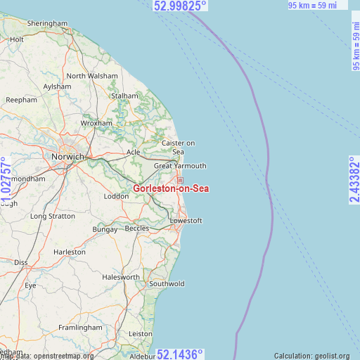
| Upper-left | 52.99825°, | 1.02757° |
| Center: | 52.57301°, | 1.73069° |
| Lower-right: | 52.1436°, | 2.43382° |
| Map W x H: | 95×95 km | = 59×59mi |
| max Lat: | 60.39635° ⇑48.3% North |
| Gorleston-on-Sea: | 52.57301° |
| min Lat: | ⇓51.7% South 34.60088° |
| min Long | Gorleston-on-Se | max Long |
| -7.64133° | 1.73069° | 32.95536° |
| W 99.9%⇐ | ⇒0.099999999999994% E |
Elevation
Elevation of Gorleston-on-Sea is 4 m = 13 ft, and this is 68.9 m = 226 ft below average elevation for this country.
| Max E: |
515 m = 1690 ft | 99% |
| Avg. | 72.9 m = 239 ft | |
| Gorleston-on-Sea | 4 m = 13 ft | |
Min E: |
-30 m = -98 ft | 1% |
See also: United Kingdom elevation on elevation.city.
Geographical zone
Gorleston-on-Sea is located in North temperate zone (between Tropic of Cancer and the Arctic Circle). Distance of this North polar circle is 1555.6 km =966.6 mi to North.| Distance of | km | miles | from Gorleston-on-Sea |
|---|---|---|---|
| North Pole | 4161.5 | 2585.8 | to North |
| Arctic Circle | 1555.6 | 966.6 | to North |
| Tropic Cancer | 3239.7 | 2013.1 | to South |
| Equator | 5845.6 | 3632.3 | to South |


Nearby cities:
15 places around Gorleston-on-Sea: (largest is in red/bold)
• Acle
14.3 km =8.9 mi,  299°
299°
• Bradwell
2.1 km =1.3 mi,  271°
271°
• Caister-on-Sea
8.4 km =5.2 mi,  358°
358°
• Cantley
14.7 km =9.1 mi, 272°
• Filby
11.3 km =7 mi,  328°
328°
• Freethorpe
12 km =7.5 mi,  280°
280°
• Great Yarmouth
3.9 km =2.4 mi, 359°
• Halvergate
11.1 km =6.9 mi,  289°
289°
• Hemsby
14 km =8.7 mi,  349°
349°
• Hopton on Sea
4.4 km =2.7 mi,  177°
177°
• Lowestoft
11 km =6.8 mi,  172°
172°
• Ormesby St Margaret
11.7 km =7.3 mi, 345°
• Reedham
10.9 km =6.8 mi,  262°
262°
• Rollesby
13.9 km =8.6 mi, 331°
• Thurlton
12.8 km =8 mi,  247°
247°
Sources, notices
• [Note1] Compared only with cities in United Kingdom existing in our database
• [Src1] Map data: © OpenStreetMap contributors (CC-BY-SA)
• [Src2] Other city data from geonames.org with taken over terms of usage.
• [Src3] Geographical zone / Annual Mean Temperature by Robert A. Rohde @ Wikipedia
