Dalton geodata
Dalton (England) is a populated place; located in United Kingdom in Europe/London (GMT+1) time zone. With population of 518 people, there are 4835 cities with bigger population in this country. Compared to other cities in United Kingdom, 80% of cities are located further ↓South; 58.9% of cities are located further ←West and 79% of cities have higher elevation than Dalton. Note1
Administrative division(s):
- Level 1: England
- Level 2: North Yorkshire
- Level 3: Hambleton District
- Level 4: Dalton


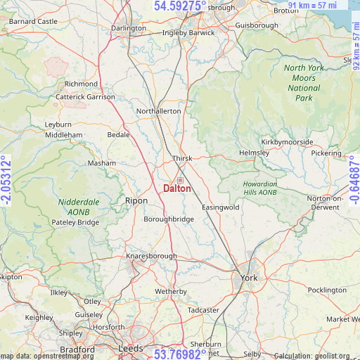
Dalton GPS coordinates[2]
54° 10' 59.988" North, 1° 21' 0" West
| Map corner | latitude | longitude |
|---|---|---|
| Upper-left | 54.59275°, | -2.05312° |
| Center: | 54.18333°, | -1.35° |
| Lower-right: | 53.76982°, | -0.64687° |
| Map W x H: | 91.5×91.5 km | = 56.9×56.9mi |
| max Lat: | 60.39635° ⇑20% North |
| Dalton: | 54.18333° |
| min Lat: | ⇓80% South 34.60088° |
| min Long | Dalton | max Long |
| -7.64133° | -1.35° | 32.95536° |
| W 58.9%⇐ | ⇒41.1% E |
Elevation
Elevation of Dalton is 22 m = 72 ft, and this is 50.9 m = 167 ft below average elevation for this country.
| Max E: |
515 m = 1690 ft | 79% |
| Avg. | 72.9 m = 239 ft | |
| Dalton | 22 m = 72 ft | |
Min E: |
-30 m = -98 ft | 21% |
See also: United Kingdom elevation on elevation.city.
Geographical zone
Dalton is located in North temperate zone (between Tropic of Cancer and the Arctic Circle). Distance of this North polar circle is 1376.6 km =855.4 mi to North.| Distance of | km | miles | from Dalton |
|---|---|---|---|
| North Pole | 3982.4 | 2474.5 | to North |
| Arctic Circle | 1376.6 | 855.4 | to North |
| Tropic Cancer | 3418.7 | 2124.3 | to South |
| Equator | 6024.6 | 3743.5 | to South |


Nearby cities:
15 places around Dalton: (largest is in red/bold)
• Alne
13.2 km =8.2 mi,  147°
147°
• Ampleforth
15.9 km =9.9 mi,  83°
83°
• Angram Grange
9 km =5.6 mi,  88°
88°
• Bagby
5.5 km =3.4 mi,  45°
45°
• Bishop Monkton
13.8 km =8.6 mi,  223°
223°
• Boroughbridge
11 km =6.8 mi,  197°
197°
• Burton Leonard
16.1 km =10 mi, 217°
• Easingwold
12.4 km =7.7 mi,  124°
124°
• Great Ouseburn
15 km =9.3 mi,  171°
171°
• Husthwaite
9.3 km =5.8 mi,  99°
99°
• Linton upon Ouse
16.6 km =10.3 mi,  156°
156°
• Raskelf
8.6 km =5.3 mi,  130°
130°
• Ripon
12.8 km =8 mi,  245°
245°
• Sharow
11.1 km =6.9 mi, 245°
• Thirsk
5.5 km =3.4 mi,  3°
3°
Sources, notices
• [Note1] Compared only with cities in United Kingdom existing in our database
• [Src1] Map data: © OpenStreetMap contributors (CC-BY-SA)
• [Src2] Other city data from geonames.org with taken over terms of usage.
• [Src3] Geographical zone / Annual Mean Temperature by Robert A. Rohde @ Wikipedia
