Crynant geodata
Crynant (Wales) is a seat of a third-order administrative division; located in United Kingdom in Europe/London (GMT+1) time zone. With population of 1,602 people, there are 2951 cities with bigger population in this country. Compared to other cities in United Kingdom, 70% of cities are located further ↑North; 85.1% of cities are located further →East and 77.7% of cities have lower elevation than Crynant. Note1


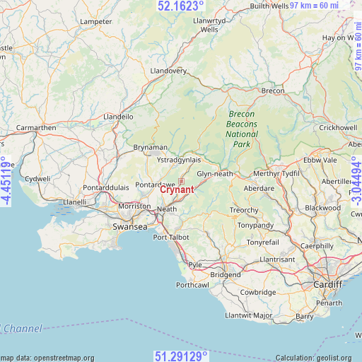
Crynant GPS coordinates[2]
51° 43' 44.004" North, 3° 44' 53.016" West
| Map corner | latitude | longitude |
|---|---|---|
| Upper-left | 52.1623°, | -4.45119° |
| Center: | 51.72889°, | -3.74806° |
| Lower-right: | 51.29129°, | -3.04494° |
| Map W x H: | 96.8×96.8 km | = 60.1×60.1mi |
| max Lat: | 60.39635° ⇑70% North |
| Crynant: | 51.72889° |
| min Lat: | ⇓30% South 34.60088° |
| min Long | Crynant | max Long |
| -7.64133° | -3.74806° | 32.95536° |
| W 14.9%⇐ | ⇒85.1% E |
Elevation
Elevation of Crynant is 112 m = 367 ft, and this is 39.1 m = 128 ft above average elevation for this country.
| Max E: |
515 m = 1690 ft | 22.3% |
| Crynant | 112 m 367 ft | |
| Avg. | 72.9 m = 239 ft | |
Min E: |
-30 m = -98 ft | 77.7% |
See also: United Kingdom elevation on elevation.city.
Geographical zone
Crynant is located in North temperate zone (between Tropic of Cancer and the Arctic Circle). Distance of this North polar circle is 1649.5 km =1025 mi to North.| Distance of | km | miles | from Crynant |
|---|---|---|---|
| North Pole | 4255.3 | 2644.1 | to North |
| Arctic Circle | 1649.5 | 1025 | to North |
| Tropic Cancer | 3145.8 | 1954.7 | to South |
| Equator | 5751.7 | 3573.9 | to South |


Nearby cities:
15 places around Crynant: (largest is in red/bold)
• Blaengwynfi
12.8 km =8 mi,  129°
129°
• Briton Ferry
11.9 km =7.4 mi,  204°
204°
• Brynamman
11.4 km =7.1 mi,  314°
314°
• Clydach
11.6 km =7.2 mi,  244°
244°
• Coelbren
8.8 km =5.5 mi,  37°
37°
• Croeserw
11.9 km =7.4 mi,  141°
141°
• Cwmafan
12.5 km =7.8 mi,  184°
184°
• Glyn-neath
9.2 km =5.7 mi,  76°
76°
• Glyncorrwg
9.9 km =6.2 mi,  123°
123°
• Neath
8.3 km =5.2 mi,  207°
207°
• Pontrhydyfen
10.5 km =6.5 mi, 178°
• Resolven
4 km =2.5 mi, 118°
• Seven Sisters
4.7 km =2.9 mi,  27°
27°
• Ystalyfera
4.8 km =3 mi,  332°
332°
• Ystradgynlais
4.4 km =2.7 mi,  343°
343°
Sources, notices
• [Note1] Compared only with cities in United Kingdom existing in our database
• [Src1] Map data: © OpenStreetMap contributors (CC-BY-SA)
• [Src2] Other city data from geonames.org with taken over terms of usage.
• [Src3] Geographical zone / Annual Mean Temperature by Robert A. Rohde @ Wikipedia
