Corby geodata
Corby (England) is a populated place; located in United Kingdom in Europe/London (GMT+1) time zone. With population of 56,810 people, there are 200 cities with bigger population in this country. Compared to other cities in United Kingdom, 50.2% of cities are located further ↓South; 72.5% of cities are located further ←West and 78.6% of cities have lower elevation than Corby. Note1


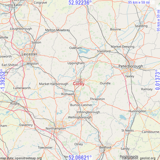
Corby GPS coordinates[2]
52° 29' 46.932" North, 0° 41' 21.804" West
| Map corner | latitude | longitude |
|---|---|---|
| Upper-left | 52.92236°, | -1.39252° |
| Center: | 52.49637°, | -0.68939° |
| Lower-right: | 52.06621°, | 0.01373° |
| Map W x H: | 95.2×95.2 km | = 59.2×59.2mi |
| max Lat: | 60.39635° ⇑49.8% North |
| Corby: | 52.49637° |
| min Lat: | ⇓50.2% South 34.60088° |
| min Long | Corby | max Long |
| -7.64133° | -0.68939° | 32.95536° |
| W 72.5%⇐ | ⇒27.5% E |
Elevation
Elevation of Corby is 114 m = 374 ft, and this is 41.1 m = 135 ft above average elevation for this country.
| Max E: |
515 m = 1690 ft | 21.4% |
| Corby | 114 m 374 ft | |
| Avg. | 72.9 m = 239 ft | |
Min E: |
-30 m = -98 ft | 78.6% |
See also: Corby elevation on elevation.city.
Geographical zone
Corby is located in North temperate zone (between Tropic of Cancer and the Arctic Circle). Distance of this North polar circle is 1564.1 km =971.9 mi to North.| Distance of | km | miles | from Corby |
|---|---|---|---|
| North Pole | 4170 | 2591.1 | to North |
| Arctic Circle | 1564.1 | 971.9 | to North |
| Tropic Cancer | 3231.1 | 2007.7 | to South |
| Equator | 5837 | 3626.9 | to South |


Nearby cities:
15 places around Corby: (largest is in red/bold)
• Barrowden
12 km =7.5 mi,  29°
29°
• Brigstock
7 km =4.3 mi,  128°
128°
• Cottingham
4.5 km =2.8 mi,  278°
278°
• Desborough
10.8 km =6.7 mi,  235°
235°
• Geddington
6.5 km =4 mi,  180°
180°
• Hallaton
12.3 km =7.6 mi,  305°
305°
• Kettering
11.2 km =7 mi,  192°
192°
• Loddington
13.4 km =8.3 mi,  214°
214°
• Morcott
11.7 km =7.3 mi,  17°
17°
• Preston
13 km =8.1 mi,  352°
352°
• Rothwell
11.6 km =7.2 mi,  220°
220°
• Seaton
8.9 km =5.5 mi,  9°
9°
• Stanion
3.3 km =2.1 mi,  136°
136°
• Uppingham
10.4 km =6.5 mi, 347°
• Wilbarston
7.8 km =4.8 mi,  261°
261°
Sources, notices
• [Note1] Compared only with cities in United Kingdom existing in our database
• [Src1] Map data: © OpenStreetMap contributors (CC-BY-SA)
• [Src2] Other city data from geonames.org with taken over terms of usage.
• [Src3] Geographical zone / Annual Mean Temperature by Robert A. Rohde @ Wikipedia
