Hanley Swan geodata
Hanley Swan (England) is a populated place; located in United Kingdom in Europe/London (GMT+1) time zone. With population of 627 people, there are 4501 cities with bigger population in this country. Compared to other cities in United Kingdom, 59.7% of cities are located further ↑North; 60.7% of cities are located further →East and 69.2% of cities have higher elevation than Hanley Swan. Note1
Administrative division(s):
- Level 1: England
- Level 2: Worcestershire
- Level 3: Malvern Hills District
- Level 4: Hanley Castle


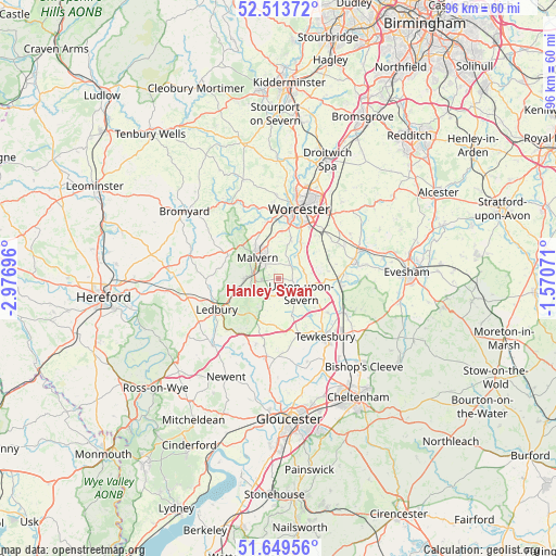
Hanley Swan GPS coordinates[2]
52° 5' 1.428" North, 2° 16' 25.788" West
| Map corner | latitude | longitude |
|---|---|---|
| Upper-left | 52.51372°, | -2.97696° |
| Center: | 52.08373°, | -2.27383° |
| Lower-right: | 51.64956°, | -1.57071° |
| Map W x H: | 96.1×96.1 km | = 59.7×59.7mi |
| max Lat: | 60.39635° ⇑59.7% North |
| Hanley Swan: | 52.08373° |
| min Lat: | ⇓40.3% South 34.60088° |
| min Long | Hanley Swan | max Long |
| -7.64133° | -2.27383° | 32.95536° |
| W 39.3%⇐ | ⇒60.7% E |
Elevation
Elevation of Hanley Swan is 34 m = 112 ft, and this is 38.9 m = 128 ft below average elevation for this country.
| Max E: |
515 m = 1690 ft | 69.2% |
| Avg. | 72.9 m = 239 ft | |
| Hanley Swan | 34 m = 112 ft | |
Min E: |
-30 m = -98 ft | 30.8% |
See also: United Kingdom elevation on elevation.city.
Geographical zone
Hanley Swan is located in North temperate zone (between Tropic of Cancer and the Arctic Circle). Distance of this North polar circle is 1610 km =1000.4 mi to North.| Distance of | km | miles | from Hanley Swan |
|---|---|---|---|
| North Pole | 4215.9 | 2619.6 | to North |
| Arctic Circle | 1610 | 1000.4 | to North |
| Tropic Cancer | 3185.2 | 1979.2 | to South |
| Equator | 5791.2 | 3598.5 | to South |


Nearby cities:
15 places around Hanley Swan: (largest is in red/bold)
• Bransford
10 km =6.2 mi,  349°
349°
• Bredon
12.3 km =7.6 mi,  119°
119°
• Cotheridge
12.4 km =7.7 mi, 347°
• Defford
10.4 km =6.5 mi,  87°
87°
• Donnington
13.5 km =8.4 mi,  226°
226°
• Eckington
10.9 km =6.8 mi,  100°
100°
• Evesbatch
13.2 km =8.2 mi,  294°
294°
• Great Malvern
4.7 km =2.9 mi,  311°
311°
• Kempsey
7.3 km =4.5 mi,  31°
31°
• Ledbury
11.7 km =7.3 mi,  243°
243°
• Leigh
10.7 km =6.6 mi,  344°
344°
• Tewkesbury
12.8 km =8 mi,  142°
142°
• Upton upon Severn
4.5 km =2.8 mi, 121°
• Welland
3.4 km =2.1 mi,  210°
210°
• Worcester
12.3 km =7.6 mi,  17°
17°
Sources, notices
• [Note1] Compared only with cities in United Kingdom existing in our database
• [Src1] Map data: © OpenStreetMap contributors (CC-BY-SA)
• [Src2] Other city data from geonames.org with taken over terms of usage.
• [Src3] Geographical zone / Annual Mean Temperature by Robert A. Rohde @ Wikipedia
