St Just geodata
St Just (England) is a populated place; located in United Kingdom in Europe/London (GMT+1) time zone. With population of 1,957 people, there are 2658 cities with bigger population in this country. Compared to other cities in United Kingdom, 99.7% of cities are located further ↑North; 97.8% of cities are located further →East and 82.8% of cities have lower elevation than St Just. Note1


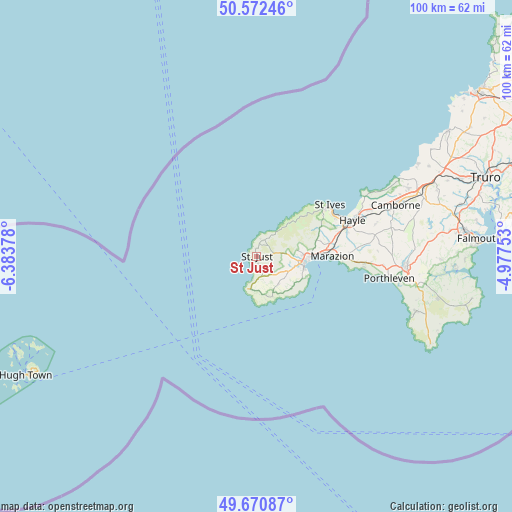
St Just GPS coordinates[2]
50° 7' 25.644" North, 5° 40' 50.34" West
| Map corner | latitude | longitude |
|---|---|---|
| Upper-left | 50.57246°, | -6.38378° |
| Center: | 50.12379°, | -5.68065° |
| Lower-right: | 49.67087°, | -4.97753° |
| Map W x H: | 100.2×100.2 km | = 62.3×62.3mi |
| max Lat: | 60.39635° ⇑99.7% North |
| St Just: | 50.12379° |
| min Lat: | ⇓0.3% South 34.60088° |
| min Long | St Just | max Long |
| -7.64133° | -5.68065° | 32.95536° |
| W 2.2%⇐ | ⇒97.8% E |
Elevation
Elevation of St Just is 126 m = 413 ft, and this is 53.1 m = 174 ft above average elevation for this country.
| Max E: |
515 m = 1690 ft | 17.2% |
| St Just | 126 m 413 ft | |
| Avg. | 72.9 m = 239 ft | |
Min E: |
-30 m = -98 ft | 82.8% |
See also: United Kingdom elevation on elevation.city.
Geographical zone
St Just is located in North temperate zone (between Tropic of Cancer and the Arctic Circle). Distance of this North polar circle is 1827.9 km =1135.8 mi to North.| Distance of | km | miles | from St Just |
|---|---|---|---|
| North Pole | 4433.8 | 2755 | to North |
| Arctic Circle | 1827.9 | 1135.8 | to North |
| Tropic Cancer | 2967.3 | 1843.8 | to South |
| Equator | 5573.2 | 3463 | to South |


Nearby cities:
15 places around St Just: (largest is in red/bold)
• Camborne
29.1 km =18.1 mi,  70°
70°
• Germoe
21.5 km =13.4 mi,  92°
92°
• Hayle
19.6 km =12.2 mi, 70°
• Helston
29.3 km =18.2 mi, 94°
• Madron
8.3 km =5.2 mi,  83°
83°
• Marazion
14.7 km =9.1 mi, 89°
• Mousehole
11.1 km =6.9 mi,  114°
114°
• Penzance
10.2 km =6.3 mi, 93°
• Porthleven
26.4 km =16.4 mi,  99°
99°
• Portreath
31.7 km =19.7 mi,  61°
61°
• Sennen
5.3 km =3.3 mi,  195°
195°
• St Ives
16.7 km =10.4 mi, 55°
• St. Buryan
6.9 km =4.3 mi,  142°
142°
• Uny Lelant
18.3 km =11.4 mi, 68°
• Wendron
30.7 km =19.1 mi, 88°
Sources, notices
• [Note1] Compared only with cities in United Kingdom existing in our database
• [Src1] Map data: © OpenStreetMap contributors (CC-BY-SA)
• [Src2] Other city data from geonames.org with taken over terms of usage.
• [Src3] Geographical zone / Annual Mean Temperature by Robert A. Rohde @ Wikipedia
