Tílisos geodata
Tílisos (Crete) is a populated place; located in Greece in Europe/Athens (GMT+3) time zone. With population of 1,026 people, there are 985 cities with bigger population in this country. Compared to other cities in Greece, 96.6% of cities are located further ↑North; 87.4% of cities are located further ←West and 74.9% of cities have lower elevation than Tílisos. Note1


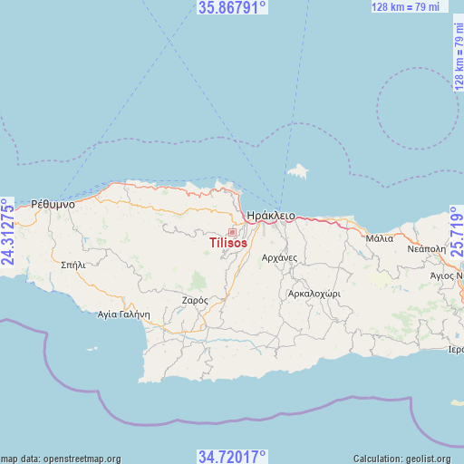
Tílisos GPS coordinates[2]
35° 17' 45.852" North, 25° 0' 57.132" East
| Map corner | latitude | longitude |
|---|---|---|
| Upper-left | 35.86791°, | 24.31275° |
| Center: | 35.29607°, | 25.01587° |
| Lower-right: | 34.72017°, | 25.719° |
| Map W x H: | 127.6×127.6 km | = 79.3×79.3mi |
| max Lat: | 41.72048° ⇑96.6% North |
| Tílisos: | 35.29607° |
| min Lat: | ⇓3.4% South 34.8346° |
| min Long | Tílisos | max Long |
| 19.40494° | 25.01587° | 29.59361° |
| W 87.4%⇐ | ⇒12.6% E |
Elevation
Elevation of Tílisos is 209 m = 686 ft, and this is 40.1 m = 132 ft above average elevation for this country.
| Max E: |
1439 m = 4721 ft | 25.1% |
| Tílisos | 209 m 686 ft | |
| Avg. | 168.9 m = 554 ft | |
Min E: |
0 m = 0 ft | 74.9% |
See also: Greece elevation on elevation.city.
Geographical zone
Tílisos is located in North temperate zone (between Tropic of Cancer and the Arctic Circle). Distance of this Northern Tropic circle is 1318.6 km =819.3 mi to South.| Distance of | km | miles | from Tílisos |
|---|---|---|---|
| North Pole | 6082.5 | 3779.5 | to North |
| Arctic Circle | 3476.6 | 2160.3 | to North |
| Tropic Cancer | 1318.6 | 819.3 | to South |
| Equator | 3924.6 | 2438.6 | to South |


Nearby cities:
15 places around Tílisos: (largest is in red/bold)
• Ano Arhanes
15.4 km =9.6 mi,  117°
117°
• Anógeia
12 km =7.5 mi,  267°
267°
• Gázi
5.7 km =3.5 mi,  54°
54°
• Irákleion
12.1 km =7.5 mi,  73°
73°
• Kavrochóri
3.1 km =1.9 mi,  64°
64°
• Krousón
7.9 km =4.9 mi,  202°
202°
• Káto Asítai
10.5 km =6.5 mi,  188°
188°
• Káto Kalésia
3.8 km =2.4 mi,  106°
106°
• Néa Alikarnassós
13.9 km =8.6 mi, 69°
• Profítis Ilías
12.6 km =7.8 mi,  142°
142°
• Rodiá
7.7 km =4.8 mi,  2°
2°
• Vasilíai
11.4 km =7.1 mi,  104°
104°
• Veneráton
11.2 km =7 mi,  168°
168°
• Ágioi Theódoroi
7.5 km =4.7 mi, 69°
• Áno Kalésia
4.2 km =2.6 mi, 109°
Sources, notices
• [Note1] Compared only with cities in Greece existing in our database
• [Src1] Map data: © OpenStreetMap contributors (CC-BY-SA)
• [Src2] Other city data from geonames.org with taken over terms of usage.
• [Src3] Geographical zone / Annual Mean Temperature by Robert A. Rohde @ Wikipedia
