Veneráton geodata
Veneráton (Crete) is a populated place; located in Greece in Europe/Athens (GMT+3) time zone. With population of 938 people, there are 1083 cities with bigger population in this country. Compared to other cities in Greece, 98.2% of cities are located further ↑North; 87.6% of cities are located further ←West and 81.2% of cities have lower elevation than Veneráton. Note1


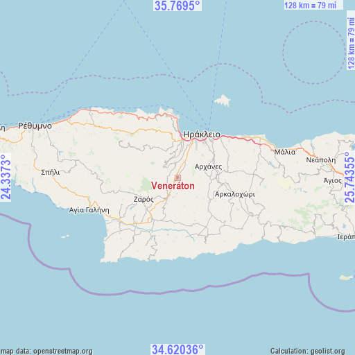
Veneráton GPS coordinates[2]
35° 11' 49.056" North, 25° 2' 25.512" East
| Map corner | latitude | longitude |
|---|---|---|
| Upper-left | 35.7695°, | 24.3373° |
| Center: | 35.19696°, | 25.04042° |
| Lower-right: | 34.62036°, | 25.74355° |
| Map W x H: | 127.8×127.8 km | = 79.4×79.4mi |
| max Lat: | 41.72048° ⇑98.2% North |
| Veneráton: | 35.19696° |
| min Lat: | ⇓1.8% South 34.8346° |
| min Long | Veneráton | max Long |
| 19.40494° | 25.04042° | 29.59361° |
| W 87.6%⇐ | ⇒12.4% E |
Elevation
Elevation of Veneráton is 302 m = 991 ft, and this is 133.1 m = 437 ft above average elevation for this country.
| Max E: |
1439 m = 4721 ft | 18.8% |
| Veneráton | 302 m 991 ft | |
| Avg. | 168.9 m = 554 ft | |
Min E: |
0 m = 0 ft | 81.2% |
See also: Greece elevation on elevation.city.
Geographical zone
Veneráton is located in North temperate zone (between Tropic of Cancer and the Arctic Circle). Distance of this Northern Tropic circle is 1307.6 km =812.5 mi to South.| Distance of | km | miles | from Veneráton |
|---|---|---|---|
| North Pole | 6093.5 | 3786.3 | to North |
| Arctic Circle | 3487.6 | 2167.1 | to North |
| Tropic Cancer | 1307.6 | 812.5 | to South |
| Equator | 3913.5 | 2431.7 | to South |


Nearby cities:
15 places around Veneráton: (largest is in red/bold)
• Agía Varvára
7.5 km =4.7 mi,  208°
208°
• Ano Arhanes
12.2 km =7.6 mi,  70°
70°
• Gázi
14.5 km =9 mi,  9°
9°
• Gérgeri
10.9 km =6.8 mi,  229°
229°
• Kavrochóri
12.4 km =7.7 mi,  2°
2°
• Krousón
6.4 km =4 mi,  305°
305°
• Káto Asítai
3.9 km =2.4 mi,  279°
279°
• Káto Kalésia
10 km =6.2 mi, 8°
• Profítis Ilías
5.5 km =3.4 mi,  79°
79°
• Tílisos
11.2 km =7 mi,  348°
348°
• Vasilíai
12.1 km =7.5 mi,  47°
47°
• Zarós
14.4 km =8.9 mi,  239°
239°
• Ágioi Theódoroi
14.4 km =8.9 mi,  19°
19°
• Áno Kalésia
9.8 km =6.1 mi, 9°
• Áyiai Paraskiaí
15 km =9.3 mi, 84°
Sources, notices
• [Note1] Compared only with cities in Greece existing in our database
• [Src1] Map data: © OpenStreetMap contributors (CC-BY-SA)
• [Src2] Other city data from geonames.org with taken over terms of usage.
• [Src3] Geographical zone / Annual Mean Temperature by Robert A. Rohde @ Wikipedia
