Lidoríki geodata
Lidoríki (Central Greece) is a seat of a third-order administrative division; located in Greece in Europe/Athens (GMT+3) time zone. With population of 840 people, there are 1211 cities with bigger population in this country. Compared to other cities in Greece, 61.3% of cities are located further ↑North; 67.4% of cities are located further →East and 91.1% of cities have lower elevation than Lidoríki. Note1


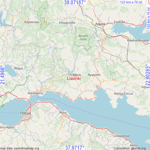
Lidoríki GPS coordinates[2]
38° 31' 26.004" North, 22° 11' 58.992" East
| Map corner | latitude | longitude |
|---|---|---|
| Upper-left | 39.07187°, | 21.4966° |
| Center: | 38.52389°, | 22.19972° |
| Lower-right: | 37.9717°, | 22.90285° |
| Map W x H: | 122.3×122.3 km | = 76×76mi |
| max Lat: | 41.72048° ⇑61.3% North |
| Lidoríki: | 38.52389° |
| min Lat: | ⇓38.7% South 34.8346° |
| min Long | Lidoríki | max Long |
| 19.40494° | 22.19972° | 29.59361° |
| W 32.6%⇐ | ⇒67.4% E |
Elevation
Elevation of Lidoríki is 534 m = 1752 ft, and this is 365.1 m = 1198 ft above average elevation for this country.
| Max E: |
1439 m = 4721 ft | 8.9% |
| Lidoríki | 534 m 1752 ft | |
| Avg. | 168.9 m = 554 ft | |
Min E: |
0 m = 0 ft | 91.1% |
See also: Greece elevation on elevation.city.
Geographical zone
Lidoríki is located in North temperate zone (between Tropic of Cancer and the Arctic Circle). Distance of this Northern Tropic circle is 1677.5 km =1042.3 mi to South.| Distance of | km | miles | from Lidoríki |
|---|---|---|---|
| North Pole | 5723.6 | 3556.5 | to North |
| Arctic Circle | 3117.7 | 1937.2 | to North |
| Tropic Cancer | 1677.5 | 1042.3 | to South |
| Equator | 4283.5 | 2661.6 | to South |


Nearby cities:
15 places around Lidoríki: (largest is in red/bold)
• Aráchova
33.8 km =21 mi,  98°
98°
• Aígio
32.3 km =20.1 mi,  198°
198°
• Delphi
26 km =16.2 mi, 100°
• Galaxídhion
22.4 km =13.9 mi,  135°
135°
• Itéa
22.1 km =13.7 mi,  117°
117°
• Kamárai
30.5 km =19 mi,  214°
214°
• Kastráki
29 km =18 mi,  245°
245°
• Kírra
23.7 km =14.7 mi, 116°
• Lóngos
29.8 km =18.5 mi, 211°
• Náfpaktos
35.6 km =22.1 mi, 245°
• Psathópyrgos
35.8 km =22.2 mi,  232°
232°
• Rododáfni
31.2 km =19.4 mi, 204°
• Selianítika
30.8 km =19.1 mi, 209°
• Témeni
32.5 km =20.2 mi,  191°
191°
• Ámfissa
15.4 km =9.6 mi,  88°
88°
Sources, notices
• [Note1] Compared only with cities in Greece existing in our database
• [Src1] Map data: © OpenStreetMap contributors (CC-BY-SA)
• [Src2] Other city data from geonames.org with taken over terms of usage.
• [Src3] Geographical zone / Annual Mean Temperature by Robert A. Rohde @ Wikipedia
