Methóni geodata
Methóni (Central Macedonia) is a populated place; located in Greece in Europe/Athens (GMT+3) time zone. With population of 973 people, there are 1049 cities with bigger population in this country. Compared to other cities in Greece, 72.8% of cities are located further ↓South; 57.3% of cities are located further →East and 56.2% of cities have higher elevation than Methóni. Note1
Administrative division(s):
- Level 1: Central Macedonia
- Level 2: Nomós Pierías
- Level 3: Dimos Pydna-Kolindros


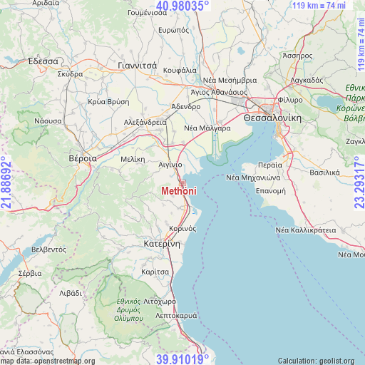
Methóni GPS coordinates[2]
40° 26' 50.64" North, 22° 35' 24.144" East
| Map corner | latitude | longitude |
|---|---|---|
| Upper-left | 40.98035°, | 21.88692° |
| Center: | 40.4474°, | 22.59004° |
| Lower-right: | 39.91019°, | 23.29317° |
| Map W x H: | 119×119 km | = 73.9×73.9mi |
| max Lat: | 41.72048° ⇑27.2% North |
| Methóni: | 40.4474° |
| min Lat: | ⇓72.8% South 34.8346° |
| min Long | Methóni | max Long |
| 19.40494° | 22.59004° | 29.59361° |
| W 42.7%⇐ | ⇒57.3% E |
Elevation
Elevation of Methóni is 62 m = 203 ft, and this is 106.9 m = 351 ft below average elevation for this country.
| Max E: |
1439 m = 4721 ft | 56.2% |
| Avg. | 168.9 m = 554 ft | |
| Methóni | 62 m = 203 ft | |
Min E: |
0 m = 0 ft | 43.8% |
See also: Greece elevation on elevation.city.
Geographical zone
Methóni is located in North temperate zone (between Tropic of Cancer and the Arctic Circle). Distance of this Northern Tropic circle is 1891.4 km =1175.3 mi to South.| Distance of | km | miles | from Methóni |
|---|---|---|---|
| North Pole | 5509.7 | 3423.6 | to North |
| Arctic Circle | 2903.8 | 1804.3 | to North |
| Tropic Cancer | 1891.4 | 1175.3 | to South |
| Equator | 4497.3 | 2794.5 | to South |


Nearby cities:
15 places around Methóni: (largest is in red/bold)
• Aigínio
7.3 km =4.5 mi,  324°
324°
• Alónia
7.3 km =4.5 mi,  215°
215°
• Katachás
4.6 km =2.9 mi,  298°
298°
• Kleidí
13.2 km =8.2 mi,  0°
0°
• Kolindrós
9.7 km =6 mi,  291°
291°
• Korinós
14.5 km =9 mi,  180°
180°
• Kítros
8.2 km =5.1 mi,  186°
186°
• Makrýgialos
3.7 km =2.3 mi,  161°
161°
• Néa Trapezoúnta
13.8 km =8.6 mi,  203°
203°
• Palaiostáni
11.2 km =7 mi,  253°
253°
• Palaió Eleftherochóri
1.7 km =1.1 mi,  227°
227°
• Plátanos
13.5 km =8.4 mi,  345°
345°
• Sevastí
10.5 km =6.5 mi, 201°
• Sfendámi
5.3 km =3.3 mi, 223°
• Trílofos
14 km =8.7 mi, 232°
Sources, notices
• [Note1] Compared only with cities in Greece existing in our database
• [Src1] Map data: © OpenStreetMap contributors (CC-BY-SA)
• [Src2] Other city data from geonames.org with taken over terms of usage.
• [Src3] Geographical zone / Annual Mean Temperature by Robert A. Rohde @ Wikipedia
