El Porvenir geodata
El Porvenir (Comayagua) is a populated place; located in Honduras in America/Tegucigalpa (GMT-6) time zone. With population of 1,337 people, there are 277 cities with bigger population in this country. Compared to other cities in Honduras, 67.4% of cities are located further ↑North; 60% of cities are located further →East and 90.4% of cities have lower elevation than El Porvenir. Note1


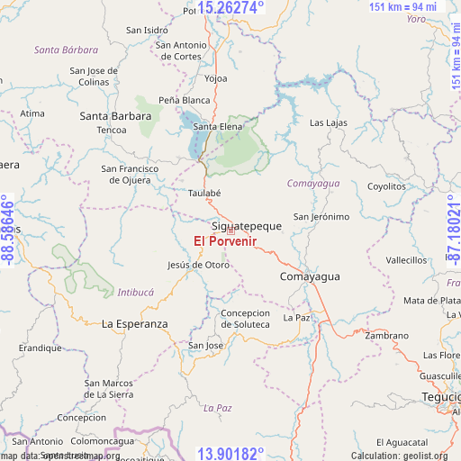
El Porvenir GPS coordinates[2]
14° 34' 59.988" North, 87° 52' 59.988" West
| Map corner | latitude | longitude |
|---|---|---|
| Upper-left | 15.26274°, | -88.58646° |
| Center: | 14.58333°, | -87.88333° |
| Lower-right: | 13.90182°, | -87.18021° |
| Map W x H: | 151.3×151.3 km | = 94×94mi |
| max Lat: | 16.45° ⇑67.4% North |
| El Porvenir: | 14.58333° |
| min Lat: | ⇓32.6% South 13.11667° |
| min Long | El Porvenir | max Long |
| -89.23333° | -87.88333° | -83.23333° |
| W 40%⇐ | ⇒60% E |
Elevation
Elevation of El Porvenir is 1157 m = 3796 ft, and this is 595.8 m = 1955 ft above average elevation for this country.
| Max E: |
1811 m = 5942 ft | 9.6% |
| El Porvenir | 1157 m 3796 ft | |
| Avg. | 561.2 m = 1841 ft | |
Min E: |
1 m = 3 ft | 90.4% |
See also: Honduras elevation on elevation.city.
Geographical zone
El Porvenir is located in North Torrid zone (between Equator and Tropic of Cancer). Distance of this Northern Tropic circle is 984.4 km =611.7 mi to North.| Distance of | km | miles | from El Porvenir |
|---|---|---|---|
| North Pole | 8385.5 | 5210.5 | to North |
| Arctic Circle | 5779.7 | 3591.3 | to North |
| Tropic Cancer | 984.4 | 611.7 | to North |
| Equator | 1621.5 | 1007.6 | to South |


Nearby cities:
15 places around El Porvenir: (largest is in red/bold)
• Aguas del Padre
1.9 km =1.2 mi,  180°
180°
• Cerro Blanco
14.2 km =8.8 mi,  49°
49°
• El Agua Dulcita
19.3 km =12 mi, 47°
• El Rincón
5.4 km =3.4 mi,  270°
270°
• El Socorro
6.6 km =4.1 mi,  327°
327°
• Jardines
16.9 km =10.5 mi,  320°
320°
• Jesús de Otoro
15.5 km =9.6 mi,  224°
224°
• Ojos de Agua
5.7 km =3.5 mi,  289°
289°
• Palo Pintado
22.8 km =14.2 mi,  109°
109°
• Potrerillos
4.1 km =2.5 mi,  154°
154°
• Río Bonito
20.4 km =12.7 mi,  0°
0°
• San José de Comayagua
23.2 km =14.4 mi, 315°
• San José de Pane
12.4 km =7.7 mi, 154°
• Siguatepeque
5.7 km =3.5 mi,  70°
70°
• Taulabé
15.8 km =9.8 mi, 325°
Sources, notices
• [Note1] Compared only with cities in Honduras existing in our database
• [Src1] Map data: © OpenStreetMap contributors (CC-BY-SA)
• [Src2] Other city data from geonames.org with taken over terms of usage.
• [Src3] Geographical zone / Annual Mean Temperature by Robert A. Rohde @ Wikipedia
