Štrigova geodata
Štrigova (Međimurska) is a seat of a second-order administrative division; located in Croatia in Europe/Zagreb (GMT+2) time zone. In our database, there are 904 cities with bigger population. Compared to other cities in Croatia, 99.7% of cities are located further ↓South; 58.1% of cities are located further →East and 81.2% of cities have lower elevation than Štrigova. Note1


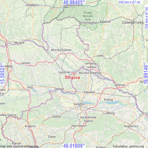
Štrigova GPS coordinates[2]
46° 30' 7.992" North, 16° 17' 17.988" East
| Map corner | latitude | longitude |
|---|---|---|
| Upper-left | 46.98405°, | 15.58521° |
| Center: | 46.50222°, | 16.28833° |
| Lower-right: | 46.01609°, | 16.99146° |
| Map W x H: | 107.6×107.6 km | = 66.9×66.9mi |
| max Lat: | 46.52694° ⇑0.3% North |
| Štrigova: | 46.50222° |
| min Lat: | ⇓99.7% South 42.54972° |
| min Long | Štrigova | max Long |
| 13.52389° | 16.28833° | 19.37694° |
| W 41.9%⇐ | ⇒58.1% E |
Elevation
Elevation of Štrigova is 213 m = 699 ft, and this is 59.7 m = 196 ft above average elevation for this country.
| Max E: |
827 m = 2713 ft | 18.8% |
| Štrigova | 213 m 699 ft | |
| Avg. | 153.3 m = 503 ft | |
Min E: |
-1 m = -3 ft | 81.2% |
See also: Croatia elevation on elevation.city.
Geographical zone
Štrigova is located in North temperate zone (between Tropic of Cancer and the Arctic Circle). Distance of this North polar circle is 2230.6 km =1386 mi to North.| Distance of | km | miles | from Štrigova |
|---|---|---|---|
| North Pole | 4836.5 | 3005.3 | to North |
| Arctic Circle | 2230.6 | 1386 | to North |
| Tropic Cancer | 2564.6 | 1593.6 | to South |
| Equator | 5170.6 | 3212.9 | to South |


Nearby cities:
15 places around Štrigova: (largest is in red/bold)
• Brezje
12.1 km =7.5 mi,  140°
140°
• Dunjkovec
14.1 km =8.8 mi,  152°
152°
• Gornji Mihaljevec
8.9 km =5.5 mi,  157°
157°
• Hlapičina
8.8 km =5.5 mi,  76°
76°
• Krištanovec
14.1 km =8.8 mi,  117°
117°
• Lopatinec
10.6 km =6.6 mi, 136°
• Macinec
12.5 km =7.8 mi,  165°
165°
• Mačkovec
14.1 km =8.8 mi,  127°
127°
• Mursko Središće
11.7 km =7.3 mi,  86°
86°
• Selnica
7.8 km =4.8 mi,  97°
97°
• Slakovec
12.7 km =7.9 mi, 147°
• Sveti Martin na Muri
7.2 km =4.5 mi,  67°
67°
• Vratišinec
13.2 km =8.2 mi, 101°
• Zasadbreg
10.8 km =6.7 mi, 121°
• Žiškovec
12.6 km =7.8 mi, 117°
Sources, notices
• [Note1] Compared only with cities in Croatia existing in our database
• [Src1] Map data: © OpenStreetMap contributors (CC-BY-SA)
• [Src2] Other city data from geonames.org with taken over terms of usage.
• [Src3] Geographical zone / Annual Mean Temperature by Robert A. Rohde @ Wikipedia
