Prezid geodata
Prezid (Primorsko-Goranska) is a populated place; located in Croatia in Europe/Zagreb (GMT+2) time zone. With population of 740 people, there are 634 cities with bigger population in this country. Compared to other cities in Croatia, 61% of cities are located further ↓South; 91.8% of cities are located further →East and 99.6% of cities have lower elevation than Prezid. Note1


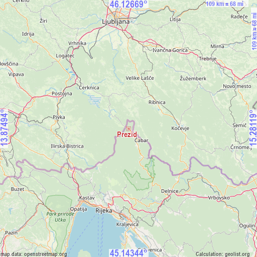
Prezid GPS coordinates[2]
45° 38' 13.992" North, 14° 34' 41.016" East
| Map corner | latitude | longitude |
|---|---|---|
| Upper-left | 46.12669°, | 13.87494° |
| Center: | 45.63722°, | 14.57806° |
| Lower-right: | 45.14344°, | 15.28119° |
| Map W x H: | 109.3×109.3 km | = 67.9×67.9mi |
| max Lat: | 46.52694° ⇑39% North |
| Prezid: | 45.63722° |
| min Lat: | ⇓61% South 42.54972° |
| min Long | Prezid | max Long |
| 13.52389° | 14.57806° | 19.37694° |
| W 8.2%⇐ | ⇒91.8% E |
Elevation
Elevation of Prezid is 769 m = 2523 ft, and this is 615.7 m = 2020 ft above average elevation for this country.
| Max E: |
827 m = 2713 ft | 0.40000000000001% |
| Prezid | 769 m 2523 ft | |
| Avg. | 153.3 m = 503 ft | |
Min E: |
-1 m = -3 ft | 99.6% |
See also: Croatia elevation on elevation.city.
Geographical zone
Prezid is located in North temperate zone (between Tropic of Cancer and the Arctic Circle). Distance of this North polar circle is 2326.8 km =1445.8 mi to North.| Distance of | km | miles | from Prezid |
|---|---|---|---|
| North Pole | 4932.7 | 3065 | to North |
| Arctic Circle | 2326.8 | 1445.8 | to North |
| Tropic Cancer | 2468.5 | 1533.9 | to South |
| Equator | 5074.4 | 3153.1 | to South |


Nearby cities:
15 places around Prezid: (largest is in red/bold)
• Buzdohanj
33.2 km =20.6 mi,  192°
192°
• Cernik
33.2 km =20.6 mi, 190°
• Delnice
31.4 km =19.5 mi,  146°
146°
• Dražice
28.7 km =17.8 mi,  197°
197°
• Drenova
33.9 km =21.1 mi, 199°
• Gerovo
14.5 km =9 mi,  159°
159°
• Jelenje
29.6 km =18.4 mi, 199°
• Kastav
34.2 km =21.3 mi,  211°
211°
• Klana
26.3 km =16.3 mi,  216°
216°
• Lokve
33.7 km =20.9 mi, 156°
• Marinići
33.5 km =20.8 mi, 205°
• Marčelji
30.6 km =19 mi, 208°
• Podhum
28.8 km =17.9 mi, 195°
• Viškovo
32.8 km =20.4 mi, 207°
• Čavle
32.6 km =20.3 mi, 193°
Sources, notices
• [Note1] Compared only with cities in Croatia existing in our database
• [Src1] Map data: © OpenStreetMap contributors (CC-BY-SA)
• [Src2] Other city data from geonames.org with taken over terms of usage.
• [Src3] Geographical zone / Annual Mean Temperature by Robert A. Rohde @ Wikipedia
