Popovača geodata
Popovača (Sisačko-Moslavačka) is a seat of a second-order administrative division; located in Croatia in Europe/Zagreb (GMT+2) time zone. With population of 12,000 people, there are 34 cities with bigger population in this country. Compared to other cities in Croatia, 56.9% of cities are located further ↓South; 57.3% of cities are located further ←West and 50.1% of cities have higher elevation than Popovača. Note1


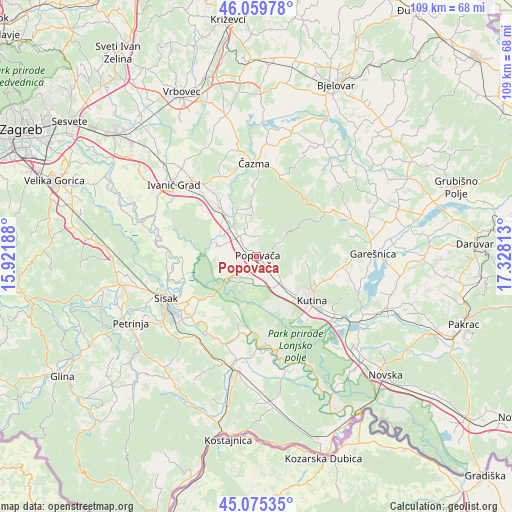
Popovača GPS coordinates[2]
45° 34' 10.992" North, 16° 37' 30" East
| Map corner | latitude | longitude |
|---|---|---|
| Upper-left | 46.05978°, | 15.92188° |
| Center: | 45.56972°, | 16.625° |
| Lower-right: | 45.07535°, | 17.32813° |
| Map W x H: | 109.5×109.5 km | = 68×68mi |
| max Lat: | 46.52694° ⇑43.1% North |
| Popovača: | 45.56972° |
| min Lat: | ⇓56.9% South 42.54972° |
| min Long | Popovača | max Long |
| 13.52389° | 16.625° | 19.37694° |
| W 57.3%⇐ | ⇒42.7% E |
Elevation
Elevation of Popovača is 127 m = 417 ft, and this is 26.3 m = 86 ft below average elevation for this country.
| Max E: |
827 m = 2713 ft | 50.1% |
| Avg. | 153.3 m = 503 ft | |
| Popovača | 127 m = 417 ft | |
Min E: |
-1 m = -3 ft | 49.9% |
See also: Croatia elevation on elevation.city.
Geographical zone
Popovača is located in North temperate zone (between Tropic of Cancer and the Arctic Circle). Distance of this North polar circle is 2334.3 km =1450.5 mi to North.| Distance of | km | miles | from Popovača |
|---|---|---|---|
| North Pole | 4940.2 | 3069.7 | to North |
| Arctic Circle | 2334.3 | 1450.5 | to North |
| Tropic Cancer | 2461 | 1529.2 | to South |
| Equator | 5066.9 | 3148.4 | to South |


Nearby cities:
15 places around Popovača: (largest is in red/bold)
• Donja Gračenica
9.3 km =5.8 mi,  152°
152°
• Gornja Gračenica
8.4 km =5.2 mi,  138°
138°
• Gornja Jelenska
6.7 km =4.2 mi,  60°
60°
• Križ
13.2 km =8.2 mi,  323°
323°
• Kutina
16.1 km =10 mi,  130°
130°
• Kutinska Slatina
13.7 km =8.5 mi,  115°
115°
• Novoselec
11.5 km =7.1 mi, 323°
• Obedišće
8.9 km =5.5 mi, 322°
• Osekovo
6 km =3.7 mi,  186°
186°
• Potok
3.5 km =2.2 mi,  229°
229°
• Repušnica
11.9 km =7.4 mi, 136°
• Stružec
7.2 km =4.5 mi, 229°
• Velika Ludina
3.9 km =2.4 mi,  329°
329°
• Vidrenjak
6 km =3.7 mi, 319°
• Voloder
4.8 km =3 mi, 119°
Sources, notices
• [Note1] Compared only with cities in Croatia existing in our database
• [Src1] Map data: © OpenStreetMap contributors (CC-BY-SA)
• [Src2] Other city data from geonames.org with taken over terms of usage.
• [Src3] Geographical zone / Annual Mean Temperature by Robert A. Rohde @ Wikipedia
