Omišalj geodata
Omišalj (Primorsko-Goranska) is a populated place; located in Croatia in Europe/Zagreb (GMT+2) time zone. With population of 1,868 people, there are 230 cities with bigger population in this country. Compared to other cities in Croatia, 66.4% of cities are located further ↑North; 92.2% of cities are located further →East and 77.6% of cities have higher elevation than Omišalj. Note1


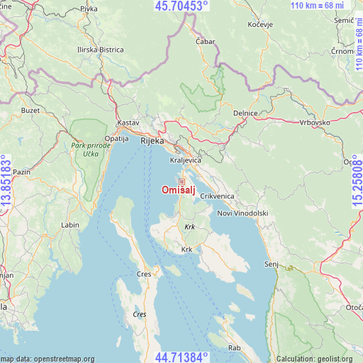
Omišalj GPS coordinates[2]
45° 12' 40.824" North, 14° 33' 17.82" East
| Map corner | latitude | longitude |
|---|---|---|
| Upper-left | 45.70453°, | 13.85183° |
| Center: | 45.21134°, | 14.55495° |
| Lower-right: | 44.71384°, | 15.25808° |
| Map W x H: | 110.2×110.2 km | = 68.5×68.5mi |
| max Lat: | 46.52694° ⇑66.4% North |
| Omišalj: | 45.21134° |
| min Lat: | ⇓33.6% South 42.54972° |
| min Long | Omišalj | max Long |
| 13.52389° | 14.55495° | 19.37694° |
| W 7.8%⇐ | ⇒92.2% E |
Elevation
Elevation of Omišalj is 87 m = 285 ft, and this is 66.3 m = 218 ft below average elevation for this country.
| Max E: |
827 m = 2713 ft | 77.6% |
| Avg. | 153.3 m = 503 ft | |
| Omišalj | 87 m = 285 ft | |
Min E: |
-1 m = -3 ft | 22.4% |
See also: Croatia elevation on elevation.city.
Geographical zone
Omišalj is located in North temperate zone (between Tropic of Cancer and the Arctic Circle). Distance of this North polar circle is 2374.1 km =1475.2 mi to North.| Distance of | km | miles | from Omišalj |
|---|---|---|---|
| North Pole | 4980 | 3094.4 | to North |
| Arctic Circle | 2374.1 | 1475.2 | to North |
| Tropic Cancer | 2421.1 | 1504.4 | to South |
| Equator | 5027 | 3123.6 | to South |


Nearby cities:
15 places around Omišalj: (largest is in red/bold)
• Bakar
11 km =6.8 mi,  349°
349°
• Crikvenica
11.4 km =7.1 mi,  109°
109°
• Dobrinj
10.1 km =6.3 mi,  158°
158°
• Hreljin
8.6 km =5.3 mi,  23°
23°
• Jadranovo
5.4 km =3.4 mi,  66°
66°
• Kostrena
10.7 km =6.6 mi,  338°
338°
• Kraljevica
7 km =4.3 mi,  8°
8°
• Krasica
10.9 km =6.8 mi,  0°
0°
• Kukuljanovo
12.8 km =8 mi, 354°
• Malinska
9.9 km =6.2 mi,  192°
192°
• Njivice
6.1 km =3.8 mi, 192°
• Praputnjak
9.8 km =6.1 mi, 8°
• Tribalj
9.7 km =6 mi,  83°
83°
• Škrljevo
12.3 km =7.6 mi, 351°
• Šmrika
5.6 km =3.5 mi,  40°
40°
Sources, notices
• [Note1] Compared only with cities in Croatia existing in our database
• [Src1] Map data: © OpenStreetMap contributors (CC-BY-SA)
• [Src2] Other city data from geonames.org with taken over terms of usage.
• [Src3] Geographical zone / Annual Mean Temperature by Robert A. Rohde @ Wikipedia
