Mrkopalj geodata
Mrkopalj (Primorsko-Goranska) is a seat of a second-order administrative division; located in Croatia in Europe/Zagreb (GMT+2) time zone. With population of 928 people, there are 505 cities with bigger population in this country. Compared to other cities in Croatia, 58.7% of cities are located further ↑North; 89.6% of cities are located further →East and 99.9% of cities have lower elevation than Mrkopalj. Note1


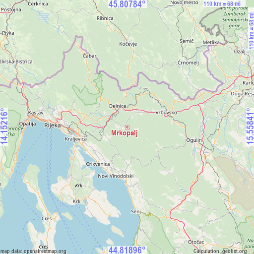
Mrkopalj GPS coordinates[2]
45° 18' 56.016" North, 14° 51' 19.008" East
| Map corner | latitude | longitude |
|---|---|---|
| Upper-left | 45.80784°, | 14.15216° |
| Center: | 45.31556°, | 14.85528° |
| Lower-right: | 44.81896°, | 15.55841° |
| Map W x H: | 110×110 km | = 68.4×68.4mi |
| max Lat: | 46.52694° ⇑58.7% North |
| Mrkopalj: | 45.31556° |
| min Lat: | ⇓41.3% South 42.54972° |
| min Long | Mrkopalj | max Long |
| 13.52389° | 14.85528° | 19.37694° |
| W 10.4%⇐ | ⇒89.6% E |
Elevation
Elevation of Mrkopalj is 822 m = 2697 ft, and this is 668.7 m = 2194 ft above average elevation for this country.
| Max E: |
827 m = 2713 ft | 0.099999999999994% |
| Mrkopalj | 822 m 2697 ft | |
| Avg. | 153.3 m = 503 ft | |
Min E: |
-1 m = -3 ft | 99.9% |
See also: Croatia elevation on elevation.city.
Geographical zone
Mrkopalj is located in North temperate zone (between Tropic of Cancer and the Arctic Circle). Distance of this North polar circle is 2362.6 km =1468.1 mi to North.| Distance of | km | miles | from Mrkopalj |
|---|---|---|---|
| North Pole | 4968.4 | 3087.2 | to North |
| Arctic Circle | 2362.6 | 1468.1 | to North |
| Tropic Cancer | 2432.7 | 1511.6 | to South |
| Equator | 5038.6 | 3130.8 | to South |


Nearby cities:
15 places around Mrkopalj: (largest is in red/bold)
• Bribir
18.6 km =11.6 mi,  202°
202°
• Brod Moravice
19.1 km =11.9 mi,  29°
29°
• Crikvenica
20 km =12.4 mi,  219°
219°
• Delnice
10.4 km =6.5 mi,  335°
335°
• Fužine
11 km =6.8 mi,  264°
264°
• Hreljin
20.4 km =12.7 mi, 259°
• Jadranovo
20.8 km =12.9 mi,  243°
243°
• Lič
11.4 km =7.1 mi,  249°
249°
• Lokve
9.6 km =6 mi,  300°
300°
• Ravna Gora
8.9 km =5.5 mi,  44°
44°
• Selce
20.6 km =12.8 mi,  210°
210°
• Skrad
13.2 km =8.2 mi,  19°
19°
• Tribalj
17.3 km =10.7 mi,  232°
232°
• Vrbovsko
18.4 km =11.4 mi,  71°
71°
• Šmrika
21.1 km =13.1 mi, 249°
Sources, notices
• [Note1] Compared only with cities in Croatia existing in our database
• [Src1] Map data: © OpenStreetMap contributors (CC-BY-SA)
• [Src2] Other city data from geonames.org with taken over terms of usage.
• [Src3] Geographical zone / Annual Mean Temperature by Robert A. Rohde @ Wikipedia
