Briševo geodata
Briševo (Zadarska) is a populated place; located in Croatia in Europe/Zagreb (GMT+2) time zone. With population of 657 people, there are 705 cities with bigger population in this country. Compared to other cities in Croatia, 81.7% of cities are located further ↑North; 85.9% of cities are located further →East and 86.7% of cities have higher elevation than Briševo. Note1


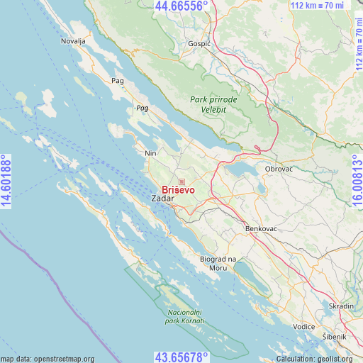
Briševo GPS coordinates[2]
44° 9' 47.988" North, 15° 18' 18" East
| Map corner | latitude | longitude |
|---|---|---|
| Upper-left | 44.66556°, | 14.60188° |
| Center: | 44.16333°, | 15.305° |
| Lower-right: | 43.65678°, | 16.00813° |
| Map W x H: | 112.2×112.2 km | = 69.7×69.7mi |
| max Lat: | 46.52694° ⇑81.7% North |
| Briševo: | 44.16333° |
| min Lat: | ⇓18.3% South 42.54972° |
| min Long | Briševo | max Long |
| 13.52389° | 15.305° | 19.37694° |
| W 14.1%⇐ | ⇒85.9% E |
Elevation
Elevation of Briševo is 51 m = 167 ft, and this is 102.3 m = 336 ft below average elevation for this country.
| Max E: |
827 m = 2713 ft | 86.7% |
| Avg. | 153.3 m = 503 ft | |
| Briševo | 51 m = 167 ft | |
Min E: |
-1 m = -3 ft | 13.3% |
See also: Croatia elevation on elevation.city.
Geographical zone
Briševo is located in North temperate zone (between Tropic of Cancer and the Arctic Circle). Distance of this Northern Tropic circle is 2304.6 km =1432 mi to South.| Distance of | km | miles | from Briševo |
|---|---|---|---|
| North Pole | 5096.6 | 3166.9 | to North |
| Arctic Circle | 2490.7 | 1547.6 | to North |
| Tropic Cancer | 2304.6 | 1432 | to South |
| Equator | 4910.5 | 3051.2 | to South |


Nearby cities:
15 places around Briševo: (largest is in red/bold)
• Bibinje
10.2 km =6.3 mi,  189°
189°
• Crno
5.6 km =3.5 mi, 191°
• Galovac
12.4 km =7.7 mi,  145°
145°
• Kožino
8.8 km =5.5 mi,  275°
275°
• Murvica
2.4 km =1.5 mi,  139°
139°
• Osljak
12.4 km =7.7 mi,  219°
219°
• Poličnik
5.9 km =3.7 mi,  73°
73°
• Preko
13.1 km =8.1 mi,  225°
225°
• Radovin
9.7 km =6 mi,  38°
38°
• Suhovare
8.2 km =5.1 mi,  94°
94°
• Sukošan
12.6 km =7.8 mi,  175°
175°
• Vrsi
12.7 km =7.9 mi,  332°
332°
• Zadar
7 km =4.3 mi, 225°
• Zaton
12.3 km =7.6 mi,  301°
301°
• Zemunik Donji
8.7 km =5.4 mi, 136°
Sources, notices
• [Note1] Compared only with cities in Croatia existing in our database
• [Src1] Map data: © OpenStreetMap contributors (CC-BY-SA)
• [Src2] Other city data from geonames.org with taken over terms of usage.
• [Src3] Geographical zone / Annual Mean Temperature by Robert A. Rohde @ Wikipedia
