Atawutung geodata
Atawutung (East Nusa Tenggara) is a seat of a fourth-order administrative division; located in Indonesia in Asia/Makassar (GMT+8) time zone. In our database, there are 407 cities with bigger population. Compared to other cities in Indonesia, 73.9% of cities are located further ↑North; 92.3% of cities are located further ←West and 63.2% of cities have higher elevation than Atawutung. Note1


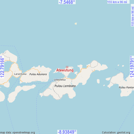
Atawutung GPS coordinates[2]
8° 14' 35.736" South, 123° 29' 41.208" East
| Map corner | latitude | longitude |
|---|---|---|
| Upper-left | -7.5468°, | 122.79166° |
| Center: | -8.24326°, | 123.49478° |
| Lower-right: | -8.93849°, | 124.19791° |
| Map W x H: | 154.7×154.7 km | = 96.1×96.1mi |
| max Lat: | 5.88969° ⇑73.9% North |
| Atawutung: | -8.24326° |
| min Lat: | ⇓26.1% South -10.934° |
| min Long | Atawutung | max Long |
| 95.1345° | 123.49478° | 140.9419° |
| W 92.3%⇐ | ⇒7.7% E |
Elevation
Elevation of Atawutung is 48 m = 157 ft, and this is 181.7 m = 596 ft below average elevation for this country.
| Max E: |
3185 m = 10449 ft | 63.2% |
| Avg. | 229.7 m = 754 ft | |
| Atawutung | 48 m = 157 ft | |
Min E: |
-1 m = -3 ft | 36.8% |
See also: Indonesia elevation on elevation.city.
Geographical zone
Atawutung is located in South Torrid zone (between Equator and Tropic of Capricorn). Distance of Equator is 916.6 km =569.5 mi to North.| Distance of | km | miles | from Atawutung |
|---|---|---|---|
| Equator | 916.6 | 569.5 | to North |
| Tropic Capricorn | 1689.4 | 1049.7 | to South |
| Antarctic Circle | 6484.6 | 4029.3 | to South |
| South Pole | 9090.5 | 5648.6 | to South |


Nearby cities:
15 places around Atawutung: (largest is in red/bold)
• Baopukang
7.7 km =4.8 mi,  159°
159°
• Dualein
4.8 km =3 mi,  230°
230°
• Ebak
2.8 km =1.7 mi,  78°
78°
• Holoriang
11 km =6.8 mi,  252°
252°
• Kimakamak
10.1 km =6.3 mi,  176°
176°
• Lamawolo
6.4 km =4 mi,  115°
115°
• Lewotolok
3.7 km =2.3 mi, 229°
• Mawa
1 km =0.6 mi, 252°
• Muruona
9.8 km =6.1 mi,  191°
191°
• Ohe
8.8 km =5.5 mi,  207°
207°
• Riangbao
8 km =5 mi,  216°
216°
• Tanjungbatu
4.3 km =2.7 mi, 228°
• Tokojaeng
6 km =3.7 mi,  105°
105°
• Waipukang
9.3 km =5.8 mi,  201°
201°
• Watomean
2.3 km =1.4 mi,  239°
239°
Sources, notices
• [Note1] Compared only with cities in Indonesia existing in our database
• [Src1] Map data: © OpenStreetMap contributors (CC-BY-SA)
• [Src2] Other city data from geonames.org with taken over terms of usage.
• [Src3] Geographical zone / Annual Mean Temperature by Robert A. Rohde @ Wikipedia
