Kemantren geodata
Kemantren (Central Java) is a seat of a fourth-order administrative division; located in Indonesia in Asia/Jakarta (GMT+7) time zone. In our database, there are 407 cities with bigger population. Compared to other cities in Indonesia, 54.7% of cities are located further ↓South; 57.5% of cities are located further →East and 66.4% of cities have higher elevation than Kemantren. Note1


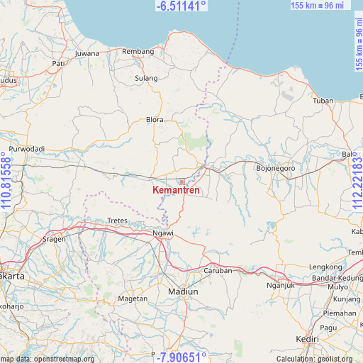
Kemantren GPS coordinates[2]
7° 12' 34.2" South, 111° 31' 7.32" East
| Map corner | latitude | longitude |
|---|---|---|
| Upper-left | -6.51141°, | 110.81558° |
| Center: | -7.2095°, | 111.5187° |
| Lower-right: | -7.90651°, | 112.22183° |
| Map W x H: | 155.1×155.1 km | = 96.4×96.4mi |
| max Lat: | 5.88969° ⇑45.3% North |
| Kemantren: | -7.2095° |
| min Lat: | ⇓54.7% South -10.934° |
| min Long | Kemantren | max Long |
| 95.1345° | 111.5187° | 140.9419° |
| W 42.5%⇐ | ⇒57.5% E |
Elevation
Elevation of Kemantren is 39 m = 128 ft, and this is 190.7 m = 626 ft below average elevation for this country.
| Max E: |
3185 m = 10449 ft | 66.4% |
| Avg. | 229.7 m = 754 ft | |
| Kemantren | 39 m = 128 ft | |
Min E: |
-1 m = -3 ft | 33.6% |
See also: Indonesia elevation on elevation.city.
Geographical zone
Kemantren is located in South Torrid zone (between Equator and Tropic of Capricorn). Distance of Equator is 801.6 km =498.1 mi to North.| Distance of | km | miles | from Kemantren |
|---|---|---|---|
| Equator | 801.6 | 498.1 | to North |
| Tropic Capricorn | 1804.3 | 1121.1 | to South |
| Antarctic Circle | 6599.6 | 4100.8 | to South |
| South Pole | 9205.4 | 5720 | to South |


Nearby cities:
15 places around Kemantren: (largest is in red/bold)
• Balangpule
4.6 km =2.9 mi,  334°
334°
• Gondel
3.4 km =2.1 mi,  230°
230°
• Jetis
0.6 km =0.4 mi,  189°
189°
• Kapuan
4.8 km =3 mi,  61°
61°
• Ketawang
4.9 km =3 mi,  93°
93°
• Ketuwan
2.7 km =1.7 mi,  200°
200°
• Klagen
1.2 km =0.7 mi,  105°
105°
• Mojorejo
3.5 km =2.2 mi,  175°
175°
• Ngori
4.3 km =2.7 mi,  135°
135°
• Panolan
2.3 km =1.4 mi, 135°
• Pulo
3.1 km =1.9 mi,  315°
315°
• Purwa
3.2 km =2 mi,  117°
117°
• Sugihwaras
3.8 km =2.4 mi,  46°
46°
• Tanjung Timur
3.3 km =2.1 mi, 318°
• Tapelan
2.7 km =1.7 mi, 142°
Sources, notices
• [Note1] Compared only with cities in Indonesia existing in our database
• [Src1] Map data: © OpenStreetMap contributors (CC-BY-SA)
• [Src2] Other city data from geonames.org with taken over terms of usage.
• [Src3] Geographical zone / Annual Mean Temperature by Robert A. Rohde @ Wikipedia
