Rangah geodata
Rangah (West Nusa Tenggara) is a seat of a fourth-order administrative division; located in Indonesia in Asia/Makassar (GMT+8) time zone. In our database, there are 407 cities with bigger population. Compared to other cities in Indonesia, 91% of cities are located further ↑North; 76.8% of cities are located further ←West and 51.3% of cities have lower elevation than Rangah. Note1


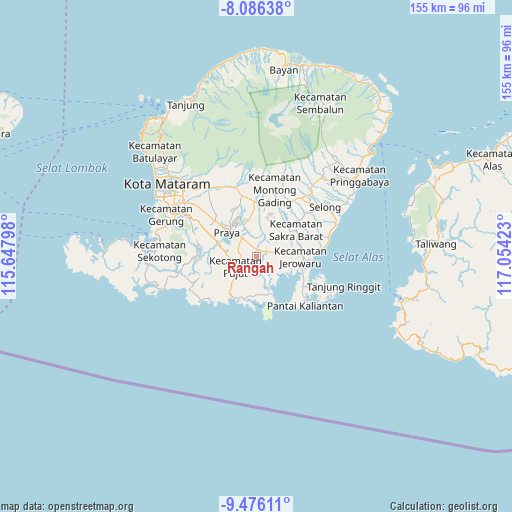
Rangah GPS coordinates[2]
8° 46' 54.84" South, 116° 21' 3.96" East
| Map corner | latitude | longitude |
|---|---|---|
| Upper-left | -8.08638°, | 115.64798° |
| Center: | -8.7819°, | 116.3511° |
| Lower-right: | -9.47611°, | 117.05423° |
| Map W x H: | 154.5×154.5 km | = 96×96mi |
| max Lat: | 5.88969° ⇑91% North |
| Rangah: | -8.7819° |
| min Lat: | ⇓9% South -10.934° |
| min Long | Rangah | max Long |
| 95.1345° | 116.3511° | 140.9419° |
| W 76.8%⇐ | ⇒23.2% E |
Elevation
Elevation of Rangah is 107 m = 351 ft, and this is 122.7 m = 403 ft below average elevation for this country.
| Max E: |
3185 m = 10449 ft | 48.7% |
| Avg. | 229.7 m = 754 ft | |
| Rangah | 107 m = 351 ft | |
Min E: |
-1 m = -3 ft | 51.3% |
See also: Indonesia elevation on elevation.city.
Geographical zone
Rangah is located in South Torrid zone (between Equator and Tropic of Capricorn). Distance of Equator is 976.5 km =606.8 mi to North.| Distance of | km | miles | from Rangah |
|---|---|---|---|
| Equator | 976.5 | 606.8 | to North |
| Tropic Capricorn | 1629.5 | 1012.5 | to South |
| Antarctic Circle | 6424.7 | 3992.1 | to South |
| South Pole | 9030.6 | 5611.4 | to South |


Nearby cities:
15 places around Rangah: (largest is in red/bold)
• Bagiktinggang
6.4 km =4 mi,  305°
305°
• Batugulung
4.7 km =2.9 mi,  108°
108°
• Beleka Satu
7.2 km =4.5 mi,  52°
52°
• Beraim
8.4 km =5.2 mi,  351°
351°
• Ganti Dua
5.1 km =3.2 mi,  73°
73°
• Jembe Timur
10 km =6.2 mi,  41°
41°
• Ketara
7.8 km =4.8 mi,  264°
264°
• Loangmaka
8.8 km =5.5 mi,  31°
31°
• Majan
7.2 km =4.5 mi,  323°
323°
• Mujur
2.3 km =1.4 mi,  10°
10°
• Sagikmateng
8.1 km =5 mi,  129°
129°
• Sengkerang Tiga
2.9 km =1.8 mi,  57°
57°
• Tamanbumigora
4.9 km =3 mi,  278°
278°
• Tanakawu Dua
9.2 km =5.7 mi, 275°
• Teruwai
3.7 km =2.3 mi,  203°
203°
Sources, notices
• [Note1] Compared only with cities in Indonesia existing in our database
• [Src1] Map data: © OpenStreetMap contributors (CC-BY-SA)
• [Src2] Other city data from geonames.org with taken over terms of usage.
• [Src3] Geographical zone / Annual Mean Temperature by Robert A. Rohde @ Wikipedia
