Ndona geodata
Ndona (East Nusa Tenggara) is a seat of a third-order administrative division; located in Indonesia in Asia/Makassar (GMT+8) time zone. In our database, there are 407 cities with bigger population. Compared to other cities in Indonesia, 91.9% of cities are located further ↑North; 87.1% of cities are located further ←West and 51.6% of cities have lower elevation than Ndona. Note1


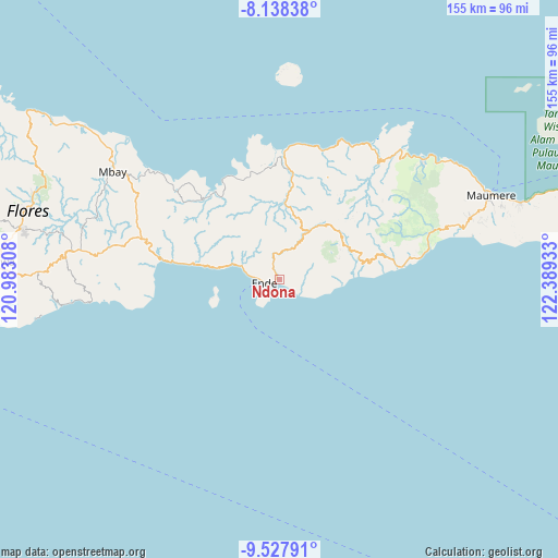
Ndona GPS coordinates[2]
8° 50' 1.68" South, 121° 41' 10.32" East
| Map corner | latitude | longitude |
|---|---|---|
| Upper-left | -8.13838°, | 120.98308° |
| Center: | -8.8338°, | 121.6862° |
| Lower-right: | -9.52791°, | 122.38933° |
| Map W x H: | 154.5×154.5 km | = 96×96mi |
| max Lat: | 5.88969° ⇑91.9% North |
| Ndona: | -8.8338° |
| min Lat: | ⇓8.1% South -10.934° |
| min Long | Ndona | max Long |
| 95.1345° | 121.6862° | 140.9419° |
| W 87.1%⇐ | ⇒12.9% E |
Elevation
Elevation of Ndona is 108 m = 354 ft, and this is 121.7 m = 399 ft below average elevation for this country.
| Max E: |
3185 m = 10449 ft | 48.4% |
| Avg. | 229.7 m = 754 ft | |
| Ndona | 108 m = 354 ft | |
Min E: |
-1 m = -3 ft | 51.6% |
See also: Indonesia elevation on elevation.city.
Geographical zone
Ndona is located in South Torrid zone (between Equator and Tropic of Capricorn). Distance of Equator is 982.2 km =610.3 mi to North.| Distance of | km | miles | from Ndona |
|---|---|---|---|
| Equator | 982.2 | 610.3 | to North |
| Tropic Capricorn | 1623.7 | 1008.9 | to South |
| Antarctic Circle | 6418.9 | 3988.5 | to South |
| South Pole | 9024.8 | 5607.7 | to South |


Nearby cities:
15 places around Ndona: (largest is in red/bold)
• Aemura
3.4 km =2.1 mi,  325°
325°
• Ende
2.8 km =1.7 mi,  248°
248°
• Lokoboko
1.7 km =1.1 mi,  338°
338°
• Mautapaga Bawah
2 km =1.2 mi,  231°
231°
• Mbongawani
4.8 km =3 mi, 252°
• Nuakota
1.3 km =0.8 mi,  68°
68°
• Onekore
3.8 km =2.4 mi,  265°
265°
• Onewitu
4.6 km =2.9 mi,  261°
261°
• Potulando
4 km =2.5 mi, 248°
• Puutuga
5.3 km =3.3 mi,  49°
49°
• Rukunlima Bawah
5 km =3.1 mi, 247°
• Tetandara
3.7 km =2.3 mi,  235°
235°
• Wolonio
4.8 km =3 mi,  279°
279°
• Wolosoko
3.4 km =2.1 mi,  128°
128°
• Wolowona
1.1 km =0.7 mi, 279°
Sources, notices
• [Note1] Compared only with cities in Indonesia existing in our database
• [Src1] Map data: © OpenStreetMap contributors (CC-BY-SA)
• [Src2] Other city data from geonames.org with taken over terms of usage.
• [Src3] Geographical zone / Annual Mean Temperature by Robert A. Rohde @ Wikipedia
