Pancoran geodata
Pancoran (West Nusa Tenggara) is a seat of a fourth-order administrative division; located in Indonesia in Asia/Makassar (GMT+8) time zone. In our database, there are 407 cities with bigger population. Compared to other cities in Indonesia, 88.5% of cities are located further ↑North; 77.5% of cities are located further ←West and 62.6% of cities have lower elevation than Pancoran. Note1


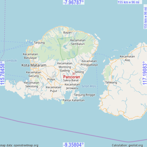
Pancoran GPS coordinates[2]
8° 39' 48.96" South, 116° 29' 15.72" East
| Map corner | latitude | longitude |
|---|---|---|
| Upper-left | -7.96787°, | 115.78458° |
| Center: | -8.6636°, | 116.4877° |
| Lower-right: | -9.35804°, | 117.19083° |
| Map W x H: | 154.6×154.6 km | = 96.1×96.1mi |
| max Lat: | 5.88969° ⇑88.5% North |
| Pancoran: | -8.6636° |
| min Lat: | ⇓11.5% South -10.934° |
| min Long | Pancoran | max Long |
| 95.1345° | 116.4877° | 140.9419° |
| W 77.5%⇐ | ⇒22.5% E |
Elevation
Elevation of Pancoran is 192 m = 630 ft, and this is 37.7 m = 124 ft below average elevation for this country.
| Max E: |
3185 m = 10449 ft | 37.4% |
| Avg. | 229.7 m = 754 ft | |
| Pancoran | 192 m = 630 ft | |
Min E: |
-1 m = -3 ft | 62.6% |
See also: Indonesia elevation on elevation.city.
Geographical zone
Pancoran is located in South Torrid zone (between Equator and Tropic of Capricorn). Distance of Equator is 963.3 km =598.6 mi to North.| Distance of | km | miles | from Pancoran |
|---|---|---|---|
| Equator | 963.3 | 598.6 | to North |
| Tropic Capricorn | 1642.6 | 1020.7 | to South |
| Antarctic Circle | 6437.9 | 4000.3 | to South |
| South Pole | 9043.8 | 5619.6 | to South |


Nearby cities:
15 places around Pancoran: (largest is in red/bold)
• Dalam Daya
2.6 km =1.6 mi,  225°
225°
• Denggen Daya
2.5 km =1.6 mi,  95°
95°
• Gereneng
3.7 km =2.3 mi,  134°
134°
• Gubuk Timuk
3.8 km =2.4 mi,  27°
27°
• Kabar Utara
1.3 km =0.8 mi,  281°
281°
• Laukrurung
3 km =1.9 mi,  334°
334°
• Lepak
4.8 km =3 mi,  162°
162°
• Lintek
3.4 km =2.1 mi,  270°
270°
• Masbagik
4.8 km =3 mi,  346°
346°
• Montongtangi Timuk
2.7 km =1.7 mi, 163°
• Muhajirin
4.1 km =2.5 mi,  60°
60°
• Nyiurtebel
3.3 km =2.1 mi,  21°
21°
• Sakra
3.6 km =2.2 mi, 232°
• Setanggor
1.3 km =0.8 mi, 327°
• Sukamulia
4.8 km =3 mi,  35°
35°
Sources, notices
• [Note1] Compared only with cities in Indonesia existing in our database
• [Src1] Map data: © OpenStreetMap contributors (CC-BY-SA)
• [Src2] Other city data from geonames.org with taken over terms of usage.
• [Src3] Geographical zone / Annual Mean Temperature by Robert A. Rohde @ Wikipedia
