Muhajirin geodata
Muhajirin (West Nusa Tenggara) is a seat of a fourth-order administrative division; located in Indonesia in Asia/Makassar (GMT+8) time zone. In our database, there are 407 cities with bigger population. Compared to other cities in Indonesia, 88% of cities are located further ↑North; 77.7% of cities are located further ←West and 61.1% of cities have lower elevation than Muhajirin. Note1


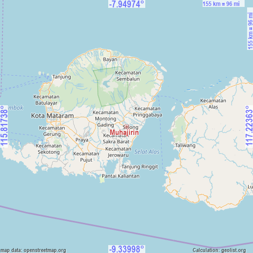
Muhajirin GPS coordinates[2]
8° 38' 43.8" South, 116° 31' 13.8" East
| Map corner | latitude | longitude |
|---|---|---|
| Upper-left | -7.94974°, | 115.81738° |
| Center: | -8.6455°, | 116.5205° |
| Lower-right: | -9.33998°, | 117.22363° |
| Map W x H: | 154.6×154.6 km | = 96.1×96.1mi |
| max Lat: | 5.88969° ⇑88% North |
| Muhajirin: | -8.6455° |
| min Lat: | ⇓12% South -10.934° |
| min Long | Muhajirin | max Long |
| 95.1345° | 116.5205° | 140.9419° |
| W 77.7%⇐ | ⇒22.3% E |
Elevation
Elevation of Muhajirin is 176 m = 577 ft, and this is 53.7 m = 176 ft below average elevation for this country.
| Max E: |
3185 m = 10449 ft | 38.9% |
| Avg. | 229.7 m = 754 ft | |
| Muhajirin | 176 m = 577 ft | |
Min E: |
-1 m = -3 ft | 61.1% |
See also: Indonesia elevation on elevation.city.
Geographical zone
Muhajirin is located in South Torrid zone (between Equator and Tropic of Capricorn). Distance of Equator is 961.3 km =597.3 mi to North.| Distance of | km | miles | from Muhajirin |
|---|---|---|---|
| Equator | 961.3 | 597.3 | to North |
| Tropic Capricorn | 1644.6 | 1021.9 | to South |
| Antarctic Circle | 6439.9 | 4001.6 | to South |
| South Pole | 9045.8 | 5620.8 | to South |


Nearby cities:
15 places around Muhajirin: (largest is in red/bold)
• Anjani Barat
4.9 km =3 mi,  340°
340°
• Bongkemalik
1.8 km =1.1 mi,  24°
24°
• Denggen Daya
2.5 km =1.6 mi,  206°
206°
• Gereneng
4.8 km =3 mi,  191°
191°
• Gubuk Timuk
2.3 km =1.4 mi,  306°
306°
• Kabar Utara
5.2 km =3.2 mi,  250°
250°
• Laukrurung
4.9 km =3 mi,  278°
278°
• Nyiurtebel
2.6 km =1.6 mi,  293°
293°
• Pancoran
4.1 km =2.5 mi,  240°
240°
• Peresak Barat
3.7 km =2.3 mi,  111°
111°
• Rempungtimur Utara
4.4 km =2.7 mi,  327°
327°
• Selong
1.4 km =0.9 mi, 113°
• Setanggor
4.4 km =2.7 mi,  258°
258°
• Sukamulia
2.1 km =1.3 mi, 334°
• Timba Timuk
4.6 km =2.9 mi,  118°
118°
Sources, notices
• [Note1] Compared only with cities in Indonesia existing in our database
• [Src1] Map data: © OpenStreetMap contributors (CC-BY-SA)
• [Src2] Other city data from geonames.org with taken over terms of usage.
• [Src3] Geographical zone / Annual Mean Temperature by Robert A. Rohde @ Wikipedia
