Ompuboi geodata
Ompuboi (West Nusa Tenggara) is a seat of a fourth-order administrative division; located in Indonesia in Asia/Makassar (GMT+8) time zone. In our database, there are 407 cities with bigger population. Compared to other cities in Indonesia, 87.6% of cities are located further ↑North; 80% of cities are located further ←West and 70.2% of cities have higher elevation than Ompuboi. Note1


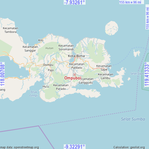
Ompuboi GPS coordinates[2]
8° 37' 42.24" South, 118° 42' 36.72" East
| Map corner | latitude | longitude |
|---|---|---|
| Upper-left | -7.93261°, | 118.00708° |
| Center: | -8.6284°, | 118.7102° |
| Lower-right: | -9.32291°, | 119.41333° |
| Map W x H: | 154.6×154.6 km | = 96.1×96.1mi |
| max Lat: | 5.88969° ⇑87.6% North |
| Ompuboi: | -8.6284° |
| min Lat: | ⇓12.4% South -10.934° |
| min Long | Ompuboi | max Long |
| 95.1345° | 118.7102° | 140.9419° |
| W 80%⇐ | ⇒20% E |
Elevation
Elevation of Ompuboi is 32 m = 105 ft, and this is 197.7 m = 649 ft below average elevation for this country.
| Max E: |
3185 m = 10449 ft | 70.2% |
| Avg. | 229.7 m = 754 ft | |
| Ompuboi | 32 m = 105 ft | |
Min E: |
-1 m = -3 ft | 29.8% |
See also: Indonesia elevation on elevation.city.
Geographical zone
Ompuboi is located in South Torrid zone (between Equator and Tropic of Capricorn). Distance of Equator is 959.4 km =596.1 mi to North.| Distance of | km | miles | from Ompuboi |
|---|---|---|---|
| Equator | 959.4 | 596.1 | to North |
| Tropic Capricorn | 1646.5 | 1023.1 | to South |
| Antarctic Circle | 6441.8 | 4002.7 | to South |
| South Pole | 9047.7 | 5622 | to South |


Nearby cities:
15 places around Ompuboi: (largest is in red/bold)
• Doro Oo
8.7 km =5.4 mi,  137°
137°
• Godo
8.9 km =5.5 mi,  327°
327°
• Karano
9.1 km =5.7 mi,  166°
166°
• Kuta
9.1 km =5.7 mi,  58°
58°
• Lambitu
7.7 km =4.8 mi, 62°
• Lantebaru
7 km =4.3 mi,  93°
93°
• Lido
2.6 km =1.6 mi, 92°
• Ncera
3.9 km =2.4 mi,  100°
100°
• Ntonggu
12.3 km =7.6 mi,  27°
27°
• Simpasai
8.6 km =5.3 mi,  215°
215°
• Tangga
3.6 km =2.2 mi,  210°
210°
• Teta Satu
12.2 km =7.6 mi, 56°
• Waworada
5.2 km =3.2 mi, 207°
• Waworada
12.6 km =7.8 mi,  128°
128°
• Woha
6.9 km =4.3 mi,  279°
279°
Sources, notices
• [Note1] Compared only with cities in Indonesia existing in our database
• [Src1] Map data: © OpenStreetMap contributors (CC-BY-SA)
• [Src2] Other city data from geonames.org with taken over terms of usage.
• [Src3] Geographical zone / Annual Mean Temperature by Robert A. Rohde @ Wikipedia
