Mukun geodata
Mukun (East Nusa Tenggara) is a seat of a fourth-order administrative division; located in Indonesia in Asia/Makassar (GMT+8) time zone. In our database, there are 407 cities with bigger population. Compared to other cities in Indonesia, 88.3% of cities are located further ↑North; 84.9% of cities are located further ←West and 97.5% of cities have lower elevation than Mukun. Note1


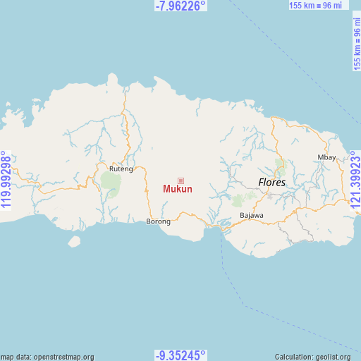
Mukun GPS coordinates[2]
8° 39' 28.8" South, 120° 41' 45.96" East
| Map corner | latitude | longitude |
|---|---|---|
| Upper-left | -7.96226°, | 119.99298° |
| Center: | -8.658°, | 120.6961° |
| Lower-right: | -9.35245°, | 121.39923° |
| Map W x H: | 154.6×154.6 km | = 96.1×96.1mi |
| max Lat: | 5.88969° ⇑88.3% North |
| Mukun: | -8.658° |
| min Lat: | ⇓11.7% South -10.934° |
| min Long | Mukun | max Long |
| 95.1345° | 120.6961° | 140.9419° |
| W 84.9%⇐ | ⇒15.1% E |
Elevation
Elevation of Mukun is 1000 m = 3281 ft, and this is 770.3 m = 2527 ft above average elevation for this country.
| Max E: |
3185 m = 10449 ft | 2.5% |
| Mukun | 1000 m 3281 ft | |
| Avg. | 229.7 m = 754 ft | |
Min E: |
-1 m = -3 ft | 97.5% |
See also: Indonesia elevation on elevation.city.
Geographical zone
Mukun is located in South Torrid zone (between Equator and Tropic of Capricorn). Distance of Equator is 962.7 km =598.2 mi to North.| Distance of | km | miles | from Mukun |
|---|---|---|---|
| Equator | 962.7 | 598.2 | to North |
| Tropic Capricorn | 1643.2 | 1021 | to South |
| Antarctic Circle | 6438.5 | 4000.7 | to South |
| South Pole | 9044.4 | 5619.9 | to South |


Nearby cities:
15 places around Mukun: (largest is in red/bold)
• Biting
9.6 km =6 mi,  315°
315°
• Dalo
0.2 km =0.1 mi,  163°
163°
• Lewe
11.1 km =6.9 mi,  210°
210°
• Lurut
4.1 km =2.5 mi,  278°
278°
• Nggelok
7.3 km =4.5 mi,  82°
82°
• Ngkiong
11 km =6.8 mi,  336°
336°
• Ngkodal
10.6 km =6.6 mi,  13°
13°
• Ngusu
5.8 km =3.6 mi,  201°
201°
• Pedak
1.5 km =0.9 mi,  192°
192°
• Pejek
3.2 km =2 mi,  65°
65°
• Pesek
10.1 km =6.3 mi,  238°
238°
• Ranambeling
1.9 km =1.2 mi,  95°
95°
• Tuwa
8 km =5 mi,  177°
177°
• Waling
6.5 km =4 mi, 281°
• Watuka
10.9 km =6.8 mi,  171°
171°
Sources, notices
• [Note1] Compared only with cities in Indonesia existing in our database
• [Src1] Map data: © OpenStreetMap contributors (CC-BY-SA)
• [Src2] Other city data from geonames.org with taken over terms of usage.
• [Src3] Geographical zone / Annual Mean Temperature by Robert A. Rohde @ Wikipedia
