Kalapadua geodata
Kalapadua (Banten) is a seat of a fourth-order administrative division; located in Indonesia in Asia/Jakarta (GMT+7) time zone. In our database, there are 407 cities with bigger population. Compared to other cities in Indonesia, 83.3% of cities are located further ↓South; 93.1% of cities are located further →East and 80.9% of cities have higher elevation than Kalapadua. Note1


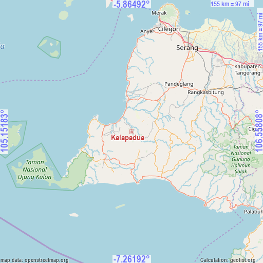
Kalapadua GPS coordinates[2]
6° 33' 50.076" South, 105° 51' 17.82" East
| Map corner | latitude | longitude |
|---|---|---|
| Upper-left | -5.86492°, | 105.15183° |
| Center: | -6.56391°, | 105.85495° |
| Lower-right: | -7.26192°, | 106.55808° |
| Map W x H: | 155.3×155.3 km | = 96.5×96.5mi |
| max Lat: | 5.88969° ⇑16.7% North |
| Kalapadua: | -6.56391° |
| min Lat: | ⇓83.3% South -10.934° |
| min Long | Kalapadua | max Long |
| 95.1345° | 105.85495° | 140.9419° |
| W 6.9%⇐ | ⇒93.1% E |
Elevation
Elevation of Kalapadua is 18 m = 59 ft, and this is 211.7 m = 695 ft below average elevation for this country.
| Max E: |
3185 m = 10449 ft | 80.9% |
| Avg. | 229.7 m = 754 ft | |
| Kalapadua | 18 m = 59 ft | |
Min E: |
-1 m = -3 ft | 19.1% |
See also: Indonesia elevation on elevation.city.
Geographical zone
Kalapadua is located in South Torrid zone (between Equator and Tropic of Capricorn). Distance of Equator is 729.8 km =453.5 mi to North.| Distance of | km | miles | from Kalapadua |
|---|---|---|---|
| Equator | 729.8 | 453.5 | to North |
| Tropic Capricorn | 1876.1 | 1165.8 | to South |
| Antarctic Circle | 6671.3 | 4145.4 | to South |
| South Pole | 9277.2 | 5764.6 | to South |


Nearby cities:
15 places around Kalapadua: (largest is in red/bold)
• Awilega
0.8 km =0.5 mi,  247°
247°
• Carodok
2.1 km =1.3 mi,  192°
192°
• Cibodas
3.3 km =2.1 mi,  173°
173°
• Cikayas
4.2 km =2.6 mi,  138°
138°
• Cimara
4 km =2.5 mi,  235°
235°
• Cipinang
4.9 km =3 mi, 168°
• Jambubol
2.8 km =1.7 mi,  45°
45°
• Kampungmasjid
4 km =2.5 mi,  93°
93°
• Pasirkadu
5.4 km =3.4 mi,  357°
357°
• Pasirloa
4.4 km =2.7 mi,  55°
55°
• Perdana
4.3 km =2.7 mi,  337°
337°
• Rancahideung
2.5 km =1.6 mi, 341°
• Seuseupan
4.4 km =2.7 mi,  296°
296°
• Sumurwaru
5.5 km =3.4 mi, 254°
• Teladan
5.7 km =3.5 mi,  324°
324°
Sources, notices
• [Note1] Compared only with cities in Indonesia existing in our database
• [Src1] Map data: © OpenStreetMap contributors (CC-BY-SA)
• [Src2] Other city data from geonames.org with taken over terms of usage.
• [Src3] Geographical zone / Annual Mean Temperature by Robert A. Rohde @ Wikipedia
