Pabuaran geodata
Pabuaran (West Java) is a seat of a fourth-order administrative division; located in Indonesia in Asia/Jakarta (GMT+7) time zone. In our database, there are 407 cities with bigger population. Compared to other cities in Indonesia, 56.6% of cities are located further ↓South; 72.4% of cities are located further →East and 81.8% of cities have lower elevation than Pabuaran. Note1


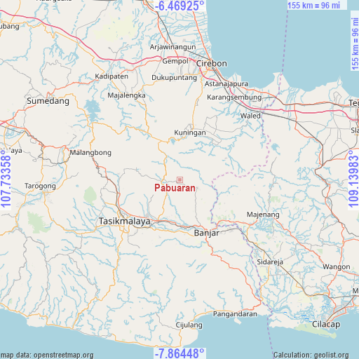
Pabuaran GPS coordinates[2]
7° 10' 2.64" South, 108° 26' 12.12" East
| Map corner | latitude | longitude |
|---|---|---|
| Upper-left | -6.46925°, | 107.73358° |
| Center: | -7.1674°, | 108.4367° |
| Lower-right: | -7.86448°, | 109.13983° |
| Map W x H: | 155.1×155.1 km | = 96.4×96.4mi |
| max Lat: | 5.88969° ⇑43.4% North |
| Pabuaran: | -7.1674° |
| min Lat: | ⇓56.6% South -10.934° |
| min Long | Pabuaran | max Long |
| 95.1345° | 108.4367° | 140.9419° |
| W 27.6%⇐ | ⇒72.4% E |
Elevation
Elevation of Pabuaran is 459 m = 1506 ft, and this is 229.3 m = 752 ft above average elevation for this country.
| Max E: |
3185 m = 10449 ft | 18.2% |
| Pabuaran | 459 m 1506 ft | |
| Avg. | 229.7 m = 754 ft | |
Min E: |
-1 m = -3 ft | 81.8% |
See also: Indonesia elevation on elevation.city.
Geographical zone
Pabuaran is located in South Torrid zone (between Equator and Tropic of Capricorn). Distance of Equator is 796.9 km =495.2 mi to North.| Distance of | km | miles | from Pabuaran |
|---|---|---|---|
| Equator | 796.9 | 495.2 | to North |
| Tropic Capricorn | 1809 | 1124.1 | to South |
| Antarctic Circle | 6604.2 | 4103.7 | to South |
| South Pole | 9210.1 | 5722.9 | to South |


Nearby cities:
15 places around Pabuaran: (largest is in red/bold)
• Bayasari Kulon
1.8 km =1.1 mi,  239°
239°
• Cibeuruy
2.2 km =1.4 mi,  344°
344°
• Cibingbin
1.7 km =1.1 mi,  186°
186°
• Cicadas
2.3 km =1.4 mi,  302°
302°
• Cigoong
1.8 km =1.1 mi,  198°
198°
• Emblegan
4.2 km =2.6 mi, 336°
• Garunggang
4.2 km =2.6 mi,  171°
171°
• Jatinagara
3.8 km =2.4 mi,  259°
259°
• Jatinagara Kulon
2 km =1.2 mi, 255°
• Mekarjaya
1.7 km =1.1 mi,  60°
60°
• Pasiramis
4.2 km =2.6 mi,  272°
272°
• Rajadesa
1.8 km =1.1 mi, 189°
• Sukaharja
4.7 km =2.9 mi,  69°
69°
• Tanjungjaya
2 km =1.2 mi,  121°
121°
• Tigaherang
4.3 km =2.7 mi,  12°
12°
Sources, notices
• [Note1] Compared only with cities in Indonesia existing in our database
• [Src1] Map data: © OpenStreetMap contributors (CC-BY-SA)
• [Src2] Other city data from geonames.org with taken over terms of usage.
• [Src3] Geographical zone / Annual Mean Temperature by Robert A. Rohde @ Wikipedia
