Balongmulyo geodata
Balongmulyo (Central Java) is a seat of a fourth-order administrative division; located in Indonesia in Asia/Jakarta (GMT+7) time zone. In our database, there are 407 cities with bigger population. Compared to other cities in Indonesia, 81.3% of cities are located further ↓South; 56.2% of cities are located further →East and 95.5% of cities have higher elevation than Balongmulyo. Note1


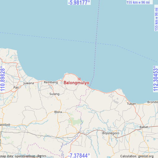
Balongmulyo GPS coordinates[2]
6° 40' 50.16" South, 111° 36' 5.04" East
| Map corner | latitude | longitude |
|---|---|---|
| Upper-left | -5.98177°, | 110.89828° |
| Center: | -6.6806°, | 111.6014° |
| Lower-right: | -7.37844°, | 112.30453° |
| Map W x H: | 155.3×155.3 km | = 96.5×96.5mi |
| max Lat: | 5.88969° ⇑18.7% North |
| Balongmulyo: | -6.6806° |
| min Lat: | ⇓81.3% South -10.934° |
| min Long | Balongmulyo | max Long |
| 95.1345° | 111.6014° | 140.9419° |
| W 43.8%⇐ | ⇒56.2% E |
Elevation
Elevation of Balongmulyo is 7 m = 23 ft, and this is 222.7 m = 731 ft below average elevation for this country.
| Max E: |
3185 m = 10449 ft | 95.5% |
| Avg. | 229.7 m = 754 ft | |
| Balongmulyo | 7 m = 23 ft | |
Min E: |
-1 m = -3 ft | 4.5% |
See also: Indonesia elevation on elevation.city.
Geographical zone
Balongmulyo is located in South Torrid zone (between Equator and Tropic of Capricorn). Distance of Equator is 742.8 km =461.6 mi to North.| Distance of | km | miles | from Balongmulyo |
|---|---|---|---|
| Equator | 742.8 | 461.6 | to North |
| Tropic Capricorn | 1863.1 | 1157.7 | to South |
| Antarctic Circle | 6658.4 | 4137.3 | to South |
| South Pole | 9264.2 | 5756.5 | to South |


Nearby cities:
15 places around Balongmulyo: (largest is in red/bold)
• Karanganyar
4.2 km =2.6 mi,  128°
128°
• Karangharjo
3.4 km =2.1 mi, 128°
• Karanglincak
3.8 km =2.4 mi, 128°
• Kendalagung
3.2 km =2 mi,  175°
175°
• Kragan
1.6 km =1 mi, 129°
• Krajan Woro
4.3 km =2.7 mi,  285°
285°
• Narukan
2.6 km =1.6 mi,  233°
233°
• Ngasinan
4.1 km =2.5 mi,  203°
203°
• Pandangan Kulon
2 km =1.2 mi,  318°
318°
• Pandangan Wetan
1.7 km =1.1 mi,  311°
311°
• Plawangan
1.1 km =0.7 mi, 312°
• Sendangwaru
4.2 km =2.6 mi, 225°
• Sudan
3 km =1.9 mi, 234°
• Sumbergayam
1.6 km =1 mi, 294°
• Sumurpule
2.3 km =1.4 mi,  250°
250°
Sources, notices
• [Note1] Compared only with cities in Indonesia existing in our database
• [Src1] Map data: © OpenStreetMap contributors (CC-BY-SA)
• [Src2] Other city data from geonames.org with taken over terms of usage.
• [Src3] Geographical zone / Annual Mean Temperature by Robert A. Rohde @ Wikipedia
