Sridadi geodata
Sridadi (Central Java) is a seat of a fourth-order administrative division; located in Indonesia in Asia/Jakarta (GMT+7) time zone. In our database, there are 407 cities with bigger population. Compared to other cities in Indonesia, 77.7% of cities are located further ↓South; 58.1% of cities are located further →East and 68.4% of cities have higher elevation than Sridadi. Note1


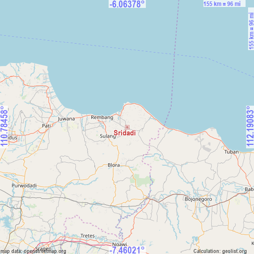
Sridadi GPS coordinates[2]
6° 45' 45" South, 111° 29' 15.72" East
| Map corner | latitude | longitude |
|---|---|---|
| Upper-left | -6.06378°, | 110.78458° |
| Center: | -6.7625°, | 111.4877° |
| Lower-right: | -7.46021°, | 112.19083° |
| Map W x H: | 155.3×155.3 km | = 96.5×96.5mi |
| max Lat: | 5.88969° ⇑22.3% North |
| Sridadi: | -6.7625° |
| min Lat: | ⇓77.7% South -10.934° |
| min Long | Sridadi | max Long |
| 95.1345° | 111.4877° | 140.9419° |
| W 41.9%⇐ | ⇒58.1% E |
Elevation
Elevation of Sridadi is 35 m = 115 ft, and this is 194.7 m = 639 ft below average elevation for this country.
| Max E: |
3185 m = 10449 ft | 68.4% |
| Avg. | 229.7 m = 754 ft | |
| Sridadi | 35 m = 115 ft | |
Min E: |
-1 m = -3 ft | 31.6% |
See also: Indonesia elevation on elevation.city.
Geographical zone
Sridadi is located in South Torrid zone (between Equator and Tropic of Capricorn). Distance of Equator is 751.9 km =467.2 mi to North.| Distance of | km | miles | from Sridadi |
|---|---|---|---|
| Equator | 751.9 | 467.2 | to North |
| Tropic Capricorn | 1854 | 1152 | to South |
| Antarctic Circle | 6649.3 | 4131.7 | to South |
| South Pole | 9255.1 | 5750.9 | to South |


Nearby cities:
15 places around Sridadi: (largest is in red/bold)
• Bangunrejo
3.3 km =2.1 mi,  114°
114°
• Gambiran
4.1 km =2.5 mi,  168°
168°
• Gayam
2 km =1.2 mi,  328°
328°
• Gemblengmulyo
4 km =2.5 mi, 325°
• Kedung
3.7 km =2.3 mi,  9°
9°
• Langkir
4.3 km =2.7 mi, 326°
• Pamotan
0.3 km =0.2 mi,  52°
52°
• Pragen Selatan
3.9 km =2.4 mi,  219°
219°
• Ringin
2.7 km =1.7 mi,  287°
287°
• Samaran
1.9 km =1.2 mi, 223°
• Sambongmulyo
3.1 km =1.9 mi, 11°
• Sidorejo
1.6 km =1 mi,  249°
249°
• Sidowayah
3.4 km =2.1 mi,  28°
28°
• Sumberagung
3.1 km =1.9 mi,  338°
338°
• Tulung
4.2 km =2.6 mi,  298°
298°
Sources, notices
• [Note1] Compared only with cities in Indonesia existing in our database
• [Src1] Map data: © OpenStreetMap contributors (CC-BY-SA)
• [Src2] Other city data from geonames.org with taken over terms of usage.
• [Src3] Geographical zone / Annual Mean Temperature by Robert A. Rohde @ Wikipedia
