Pamotan geodata
Pamotan (Central Java) is a seat of a third-order administrative division; located in Indonesia in Asia/Jakarta (GMT+7) time zone. In our database, there are 407 cities with bigger population. Compared to other cities in Indonesia, 77.8% of cities are located further ↓South; 58% of cities are located further →East and 68% of cities have higher elevation than Pamotan. Note1


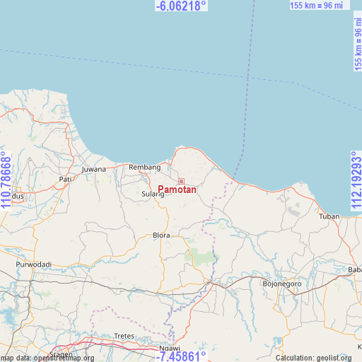
Pamotan GPS coordinates[2]
6° 45' 39.24" South, 111° 29' 23.28" East
| Map corner | latitude | longitude |
|---|---|---|
| Upper-left | -6.06218°, | 110.78668° |
| Center: | -6.7609°, | 111.4898° |
| Lower-right: | -7.45861°, | 112.19293° |
| Map W x H: | 155.3×155.3 km | = 96.5×96.5mi |
| max Lat: | 5.88969° ⇑22.2% North |
| Pamotan: | -6.7609° |
| min Lat: | ⇓77.8% South -10.934° |
| min Long | Pamotan | max Long |
| 95.1345° | 111.4898° | 140.9419° |
| W 42%⇐ | ⇒58% E |
Elevation
Elevation of Pamotan is 36 m = 118 ft, and this is 193.7 m = 635 ft below average elevation for this country.
| Max E: |
3185 m = 10449 ft | 68% |
| Avg. | 229.7 m = 754 ft | |
| Pamotan | 36 m = 118 ft | |
Min E: |
-1 m = -3 ft | 32% |
See also: Indonesia elevation on elevation.city.
Geographical zone
Pamotan is located in South Torrid zone (between Equator and Tropic of Capricorn). Distance of Equator is 751.7 km =467.1 mi to North.| Distance of | km | miles | from Pamotan |
|---|---|---|---|
| Equator | 751.7 | 467.1 | to North |
| Tropic Capricorn | 1854.2 | 1152.1 | to South |
| Antarctic Circle | 6649.4 | 4131.7 | to South |
| South Pole | 9255.3 | 5751 | to South |


Nearby cities:
15 places around Pamotan: (largest is in red/bold)
• Bangunrejo
3.2 km =2 mi,  119°
119°
• Gambiran
4.3 km =2.7 mi,  172°
172°
• Gayam
2 km =1.2 mi,  320°
320°
• Gemblengmulyo
4 km =2.5 mi, 321°
• Kedung
3.5 km =2.2 mi,  6°
6°
• Ngulahan
4.1 km =2.5 mi,  90°
90°
• Pragen Selatan
4.2 km =2.6 mi,  220°
220°
• Punggurharjo
4.2 km =2.6 mi,  338°
338°
• Ringin
2.9 km =1.8 mi,  282°
282°
• Samaran
2.2 km =1.4 mi,  225°
225°
• Sambongmulyo
2.9 km =1.8 mi, 7°
• Sidorejo
1.9 km =1.2 mi,  247°
247°
• Sidowayah
3.1 km =1.9 mi,  26°
26°
• Sridadi
0.3 km =0.2 mi, 232°
• Sumberagung
3 km =1.9 mi,  333°
333°
Sources, notices
• [Note1] Compared only with cities in Indonesia existing in our database
• [Src1] Map data: © OpenStreetMap contributors (CC-BY-SA)
• [Src2] Other city data from geonames.org with taken over terms of usage.
• [Src3] Geographical zone / Annual Mean Temperature by Robert A. Rohde @ Wikipedia
