Palugon geodata
Palugon (Central Java) is a seat of a fourth-order administrative division; located in Indonesia in Asia/Jakarta (GMT+7) time zone. In our database, there are 407 cities with bigger population. Compared to other cities in Indonesia, 53.7% of cities are located further ↓South; 69.2% of cities are located further →East and 90.7% of cities have lower elevation than Palugon. Note1


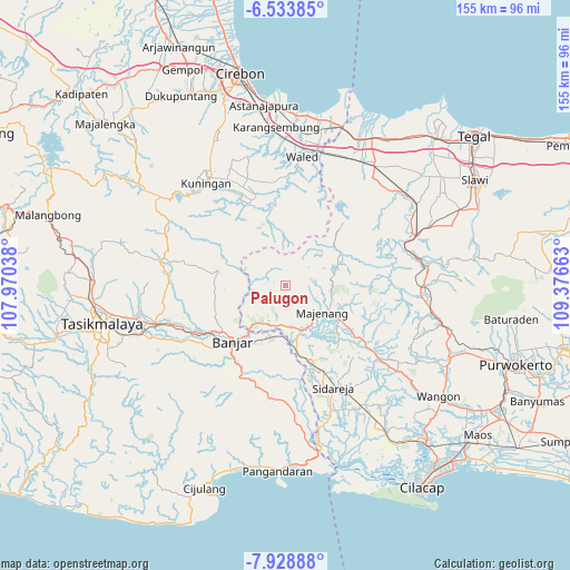
Palugon GPS coordinates[2]
7° 13' 54.84" South, 108° 40' 24.6" East
| Map corner | latitude | longitude |
|---|---|---|
| Upper-left | -6.53385°, | 107.97038° |
| Center: | -7.2319°, | 108.6735° |
| Lower-right: | -7.92888°, | 109.37663° |
| Map W x H: | 155.1×155.1 km | = 96.4×96.4mi |
| max Lat: | 5.88969° ⇑46.3% North |
| Palugon: | -7.2319° |
| min Lat: | ⇓53.7% South -10.934° |
| min Long | Palugon | max Long |
| 95.1345° | 108.6735° | 140.9419° |
| W 30.8%⇐ | ⇒69.2% E |
Elevation
Elevation of Palugon is 664 m = 2178 ft, and this is 434.3 m = 1425 ft above average elevation for this country.
| Max E: |
3185 m = 10449 ft | 9.3% |
| Palugon | 664 m 2178 ft | |
| Avg. | 229.7 m = 754 ft | |
Min E: |
-1 m = -3 ft | 90.7% |
See also: Indonesia elevation on elevation.city.
Geographical zone
Palugon is located in South Torrid zone (between Equator and Tropic of Capricorn). Distance of Equator is 804.1 km =499.6 mi to North.| Distance of | km | miles | from Palugon |
|---|---|---|---|
| Equator | 804.1 | 499.6 | to North |
| Tropic Capricorn | 1801.8 | 1119.6 | to South |
| Antarctic Circle | 6597.1 | 4099.2 | to South |
| South Pole | 9203 | 5718.5 | to South |


Nearby cities:
15 places around Palugon: (largest is in red/bold)
• Cigintung
2.7 km =1.7 mi,  93°
93°
• Cilumping
7.6 km =4.7 mi,  311°
311°
• Cimalati
8.7 km =5.4 mi,  199°
199°
• Datar
5.3 km =3.3 mi,  300°
300°
• Dayeuhluhur
7.6 km =4.7 mi,  246°
246°
• Kaduluhur
6.2 km =3.9 mi, 314°
• Kubang
6.1 km =3.8 mi,  219°
219°
• Kujang
8.8 km =5.5 mi, 297°
• Limbangan
8.8 km =5.5 mi,  152°
152°
• Majingklak
8.1 km =5 mi,  178°
178°
• Malabar
8.1 km =5 mi,  170°
170°
• Sadabumi
8.7 km =5.4 mi,  76°
76°
• Sadahayu
5.5 km =3.4 mi,  70°
70°
• Sindangjati
7.8 km =4.8 mi,  99°
99°
• Timbang Satu
2.7 km =1.7 mi,  358°
358°
Sources, notices
• [Note1] Compared only with cities in Indonesia existing in our database
• [Src1] Map data: © OpenStreetMap contributors (CC-BY-SA)
• [Src2] Other city data from geonames.org with taken over terms of usage.
• [Src3] Geographical zone / Annual Mean Temperature by Robert A. Rohde @ Wikipedia
