Paseyan geodata
Paseyan (East Java) is a seat of a fourth-order administrative division; located in Indonesia in Asia/Jakarta (GMT+7) time zone. In our database, there are 407 cities with bigger population. Compared to other cities in Indonesia, 74.2% of cities are located further ↓South; 55.5% of cities are located further →East and 56.8% of cities have higher elevation than Paseyan. Note1


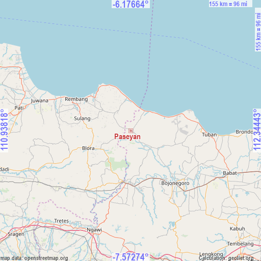
Paseyan GPS coordinates[2]
6° 52' 30.72" South, 111° 38' 28.68" East
| Map corner | latitude | longitude |
|---|---|---|
| Upper-left | -6.17664°, | 110.93818° |
| Center: | -6.8752°, | 111.6413° |
| Lower-right: | -7.57274°, | 112.34443° |
| Map W x H: | 155.2×155.2 km | = 96.4×96.4mi |
| max Lat: | 5.88969° ⇑25.8% North |
| Paseyan: | -6.8752° |
| min Lat: | ⇓74.2% South -10.934° |
| min Long | Paseyan | max Long |
| 95.1345° | 111.6413° | 140.9419° |
| W 44.5%⇐ | ⇒55.5% E |
Elevation
Elevation of Paseyan is 74 m = 243 ft, and this is 155.7 m = 511 ft below average elevation for this country.
| Max E: |
3185 m = 10449 ft | 56.8% |
| Avg. | 229.7 m = 754 ft | |
| Paseyan | 74 m = 243 ft | |
Min E: |
-1 m = -3 ft | 43.2% |
See also: Indonesia elevation on elevation.city.
Geographical zone
Paseyan is located in South Torrid zone (between Equator and Tropic of Capricorn). Distance of Equator is 764.5 km =475 mi to North.| Distance of | km | miles | from Paseyan |
|---|---|---|---|
| Equator | 764.5 | 475 | to North |
| Tropic Capricorn | 1841.5 | 1144.3 | to South |
| Antarctic Circle | 6636.7 | 4123.9 | to South |
| South Pole | 9242.6 | 5743.1 | to South |


Nearby cities:
15 places around Paseyan: (largest is in red/bold)
• Bader
1.8 km =1.1 mi,  58°
58°
• Balong
4.5 km =2.8 mi,  153°
153°
• Besowo
3.2 km =2 mi,  30°
30°
• Jatirogo
2.3 km =1.4 mi,  120°
120°
• Jetis
4.4 km =2.7 mi,  201°
201°
• Jombok
0.9 km =0.6 mi, 147°
• Karangtengah
1.1 km =0.7 mi,  246°
246°
• Kebonharjo
2.2 km =1.4 mi,  304°
304°
• Ketodan
2.8 km =1.7 mi,  1°
1°
• Krajan Sale
4.1 km =2.5 mi,  291°
291°
• Purwosari
2.7 km =1.7 mi, 122°
• Sadang
2.3 km =1.4 mi,  93°
93°
• Sale
4.3 km =2.7 mi, 289°
• Wangi
2.4 km =1.5 mi,  332°
332°
• Wotsogo
2.1 km =1.3 mi,  139°
139°
Sources, notices
• [Note1] Compared only with cities in Indonesia existing in our database
• [Src1] Map data: © OpenStreetMap contributors (CC-BY-SA)
• [Src2] Other city data from geonames.org with taken over terms of usage.
• [Src3] Geographical zone / Annual Mean Temperature by Robert A. Rohde @ Wikipedia
